
Cowboy Camp to Taylor Basin: 12 km, +905 m, -325 m, 7 h 20 m
Yesterday morning I didn’t want to get up because it was too cold; today I don’t want to get up because I’m comfortable and the sound of the creek is so soothing. There’s barely a breath of wind and, apart from the creek, it’s blissfully silent. I stirred around 7 am, noticing that I had slid down the tent during the night (there was more of a slope than we thought!), and emerged to blue sky and fluffy fair-weather clouds. As I slipped my feet into my boots, I noticed we had a little vestibule garden of tall purple clover.


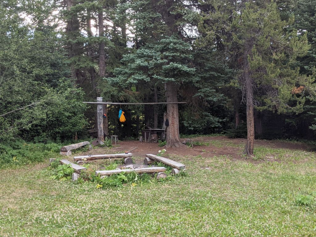
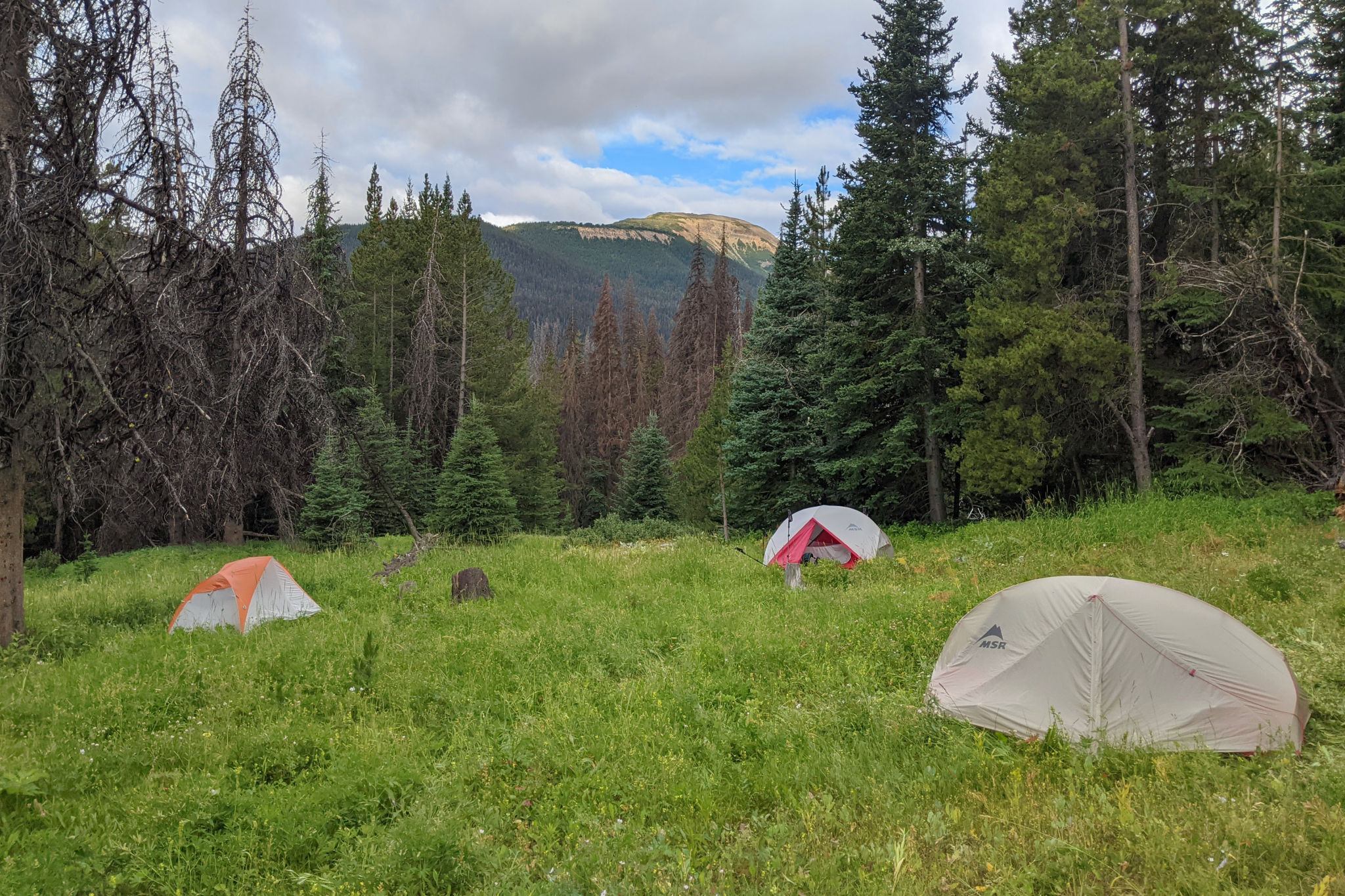
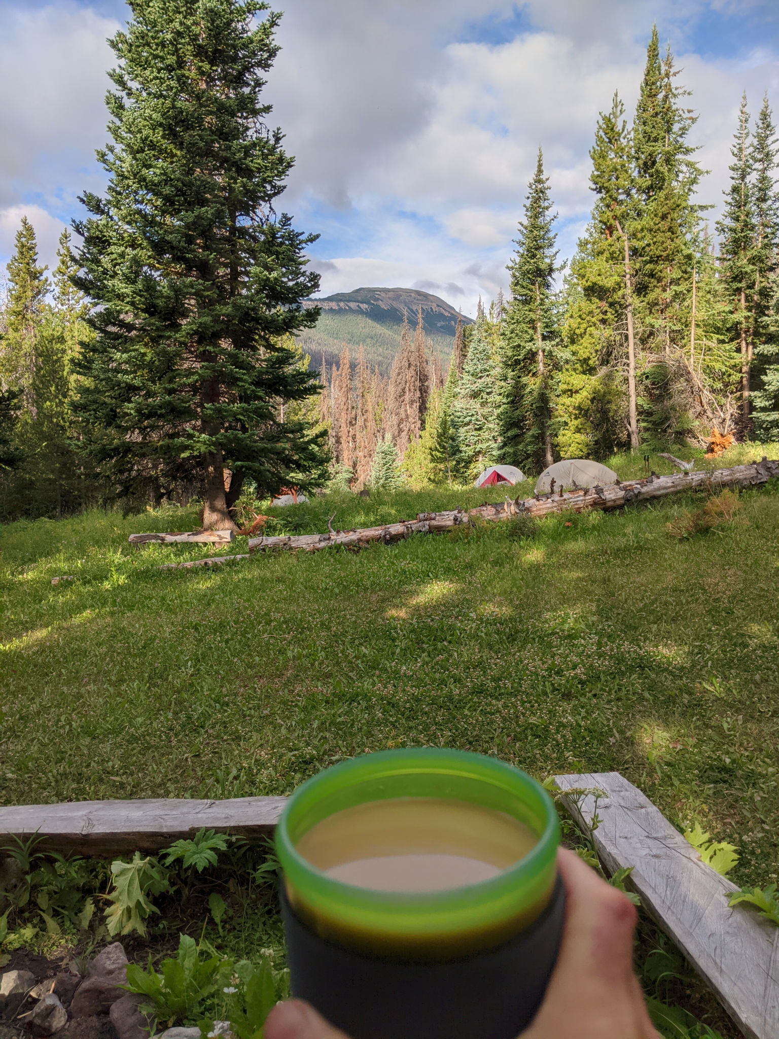
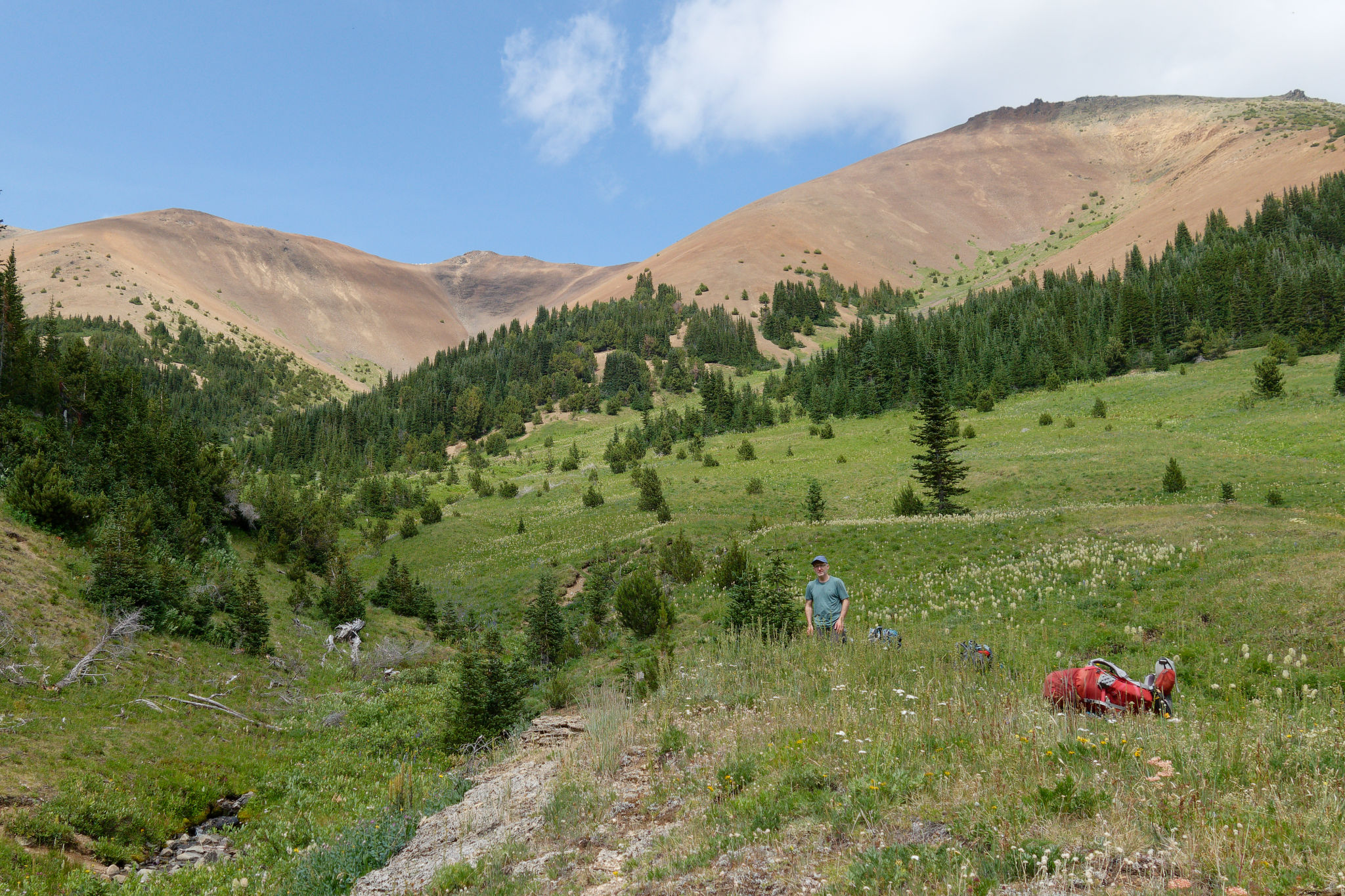
The campground felt welcoming and cheerful in the morning light, in complete contrast to how I felt when we arrived in the relative gloom last night, and it almost felt like we could have stayed for longer. We sat by the fire ring with hot drinks and oatmeal, before packing up. Kinglets and chickadees called from the trees above us, a pileated woodpecker drummed on a nearby snag, while I heard the nasal calls of a nuthatch from another cluster of trees. Maria was buzzed by a hummingbird in search of flowers. It was remarkably peaceful (despite the floatplane traffic) and it was as though time had no meaning. We were just here, in this place.


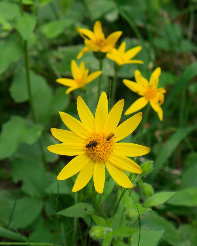
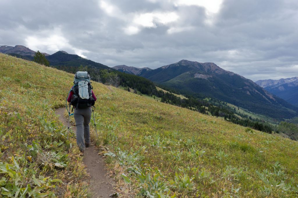
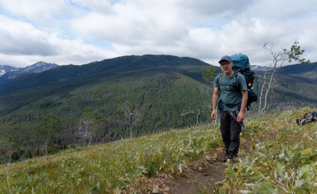
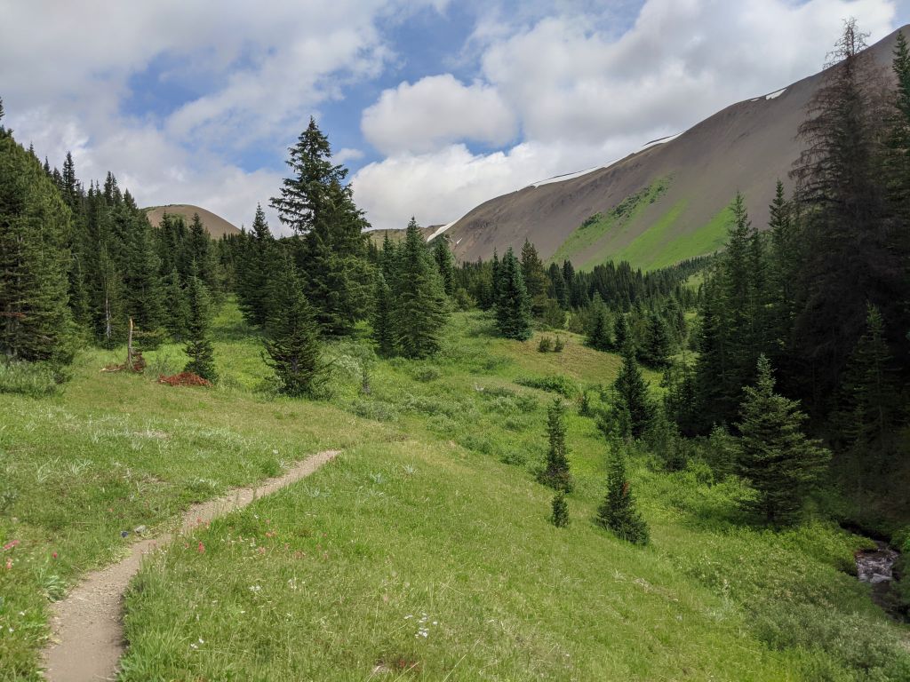
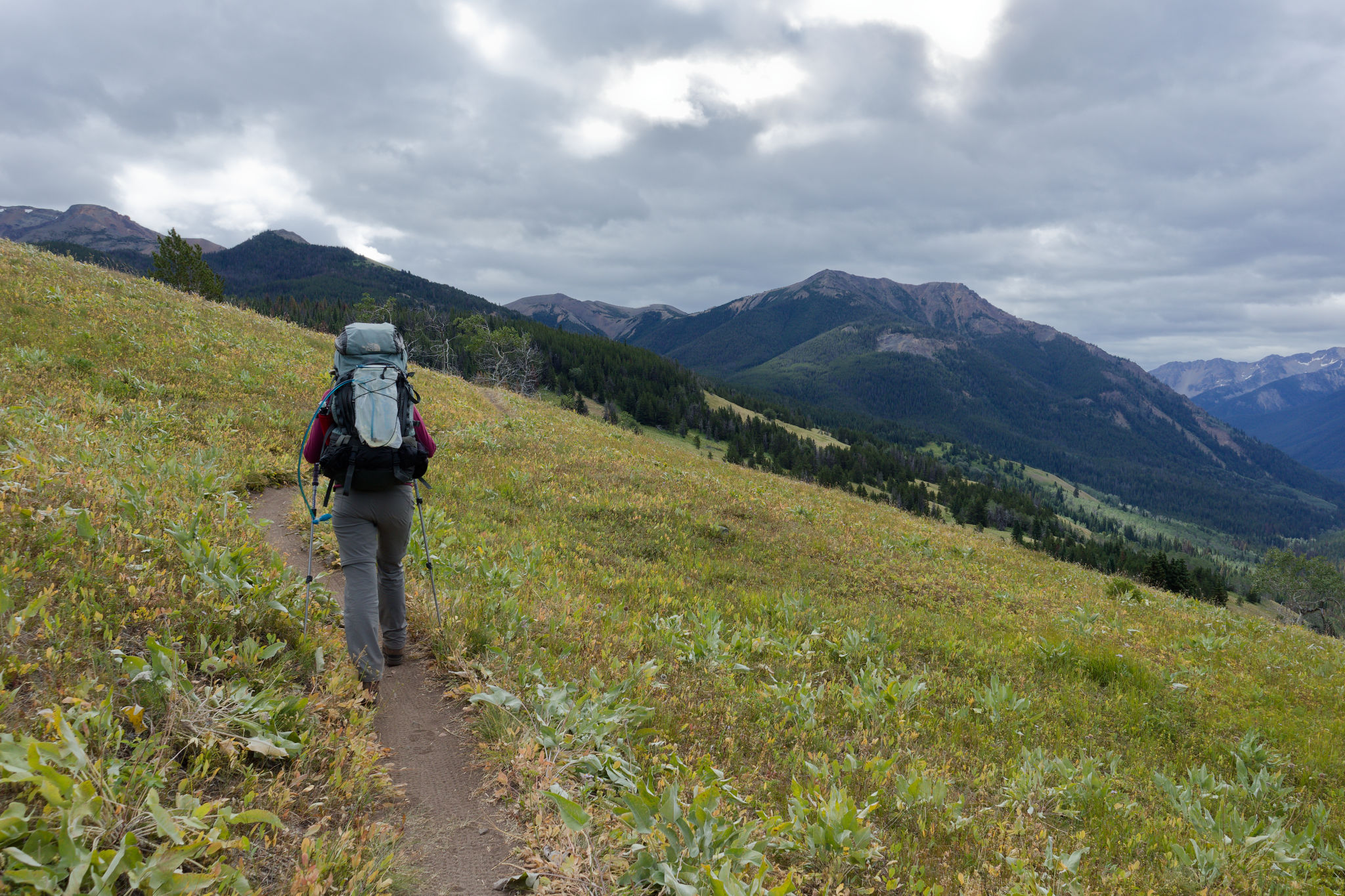
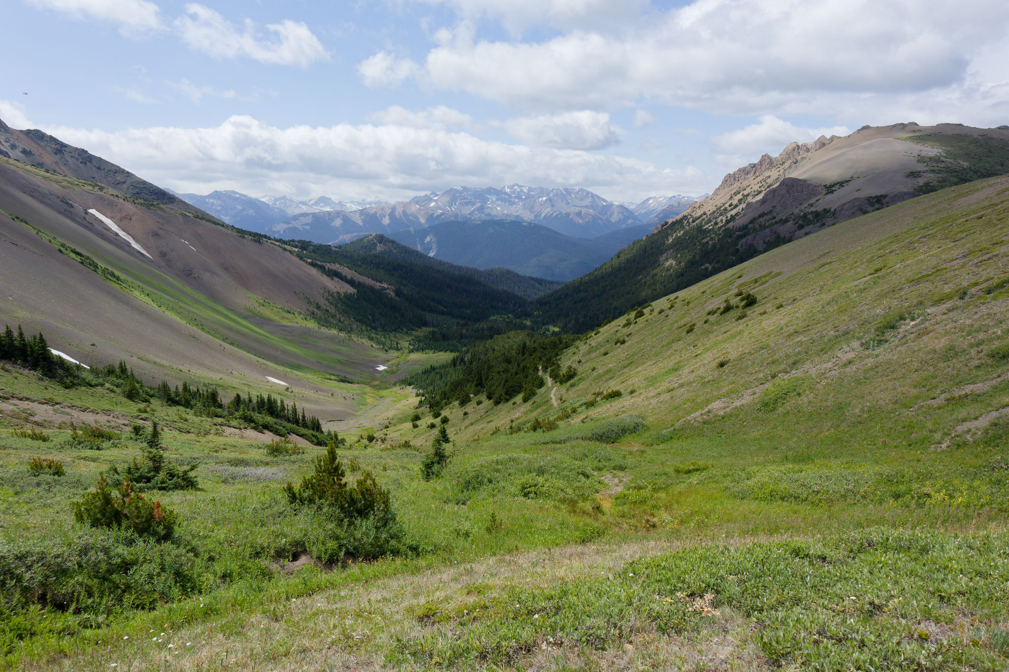
But we had another two-pass day ahead of us – first, a 700-m climb up to Windy Pass, and then a more modest 190-m ascent to Eldorado Pass. At least we would get the big climb done first, unlike our day that ended at Deer Pass. We left the campground just after 10 am and followed the Mid Grasslands trail over open meadows and – as might be expected – grasslands. The trail passed through patches of forest full of bright yellow arnica before emerging onto a large convex meadow sparsely treed with pine and aspen. Ahead of us we could see the lower Gun Creek valley and cloud-tipped mountains beyond while behind us we could see the ridge we walked around yesterday.


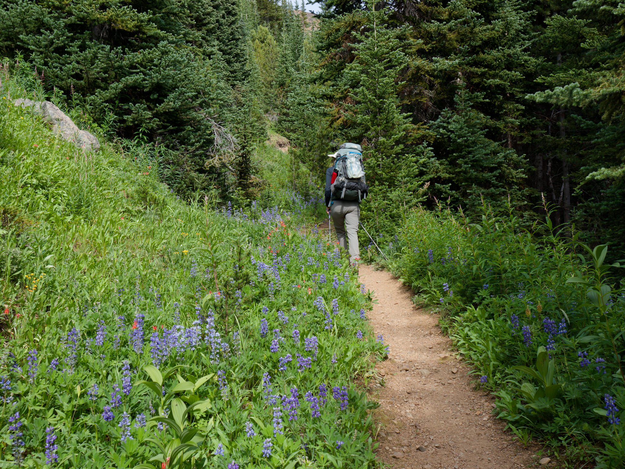
We passed through more forest (where Maria was buzzed by another hummingbird) before joining the Spruce Lake trail where we turned left towards the lake along the flower-lined trail – especially pink wintergreen, bunchberry, and arnica. Voices ahead of us had us calling out in warning (we presumed – correctly – that they were mountain bikers), though it wasn’t necessary as they turned out to be from a stationary group of bikers on a guided all-female ride. This turned out to be the Potato Patch marked on the map, a clearing that looked like a reasonable spot to camp (although with no facilities). We chatted with them for a minute or two before turning onto the High Trail, staying left at the next junction with the Gun Meadows trail. At least the trails were marked even if the labelling was inconsistent – directions weren’t always clear and distances were often lacking.
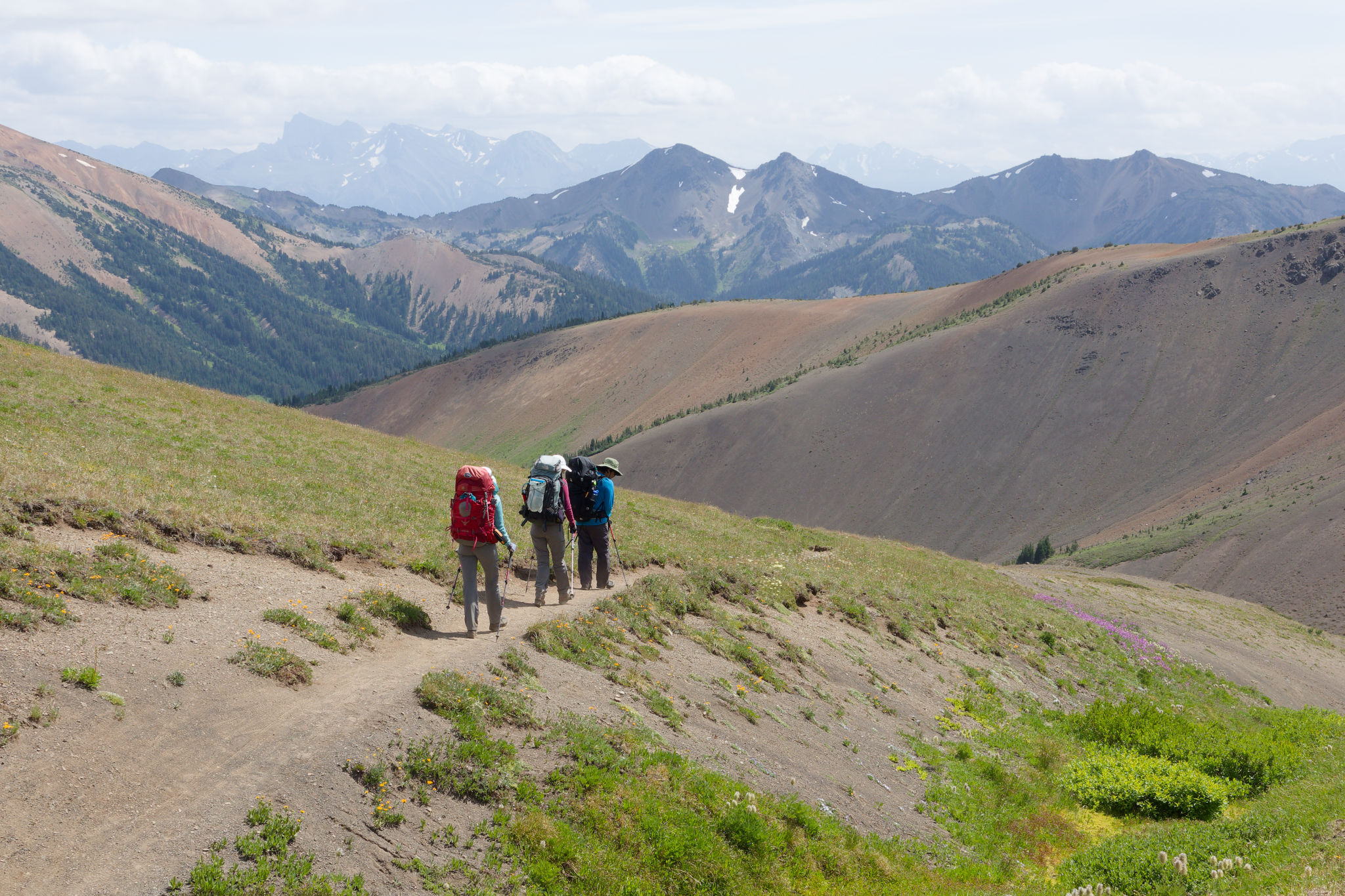
Now the climb began, gently at first over an easy and occasionally rooty trail, then a bit steeper in places, soon warming us up and prompting a brief stop to remove an excess layer. The mountain bikers caught up with us – a large group of 12 plus two guides – and we waited for them to pass, which took more than 5 minutes as they trudged past. We let them get ahead of us before we continued but soon caught up with one (and a guide) who was struggling to push her bike up the slope. This is where I began to get irritated as they would not let us pass, so we always had to stop whenever they did, which destroyed whatever rhythm we were trying to establish on our own climb.
A minor rant: feel free to skip ahead. Please, don’t be that biker. Let us pass, will you? I get it – being passed by snail-like backpackers is probably a bit discouraging but holding people up for the sake of your ego isn’t very friendly. And if you’re a guide on one of these trips, please have the awareness to allow hikers through, even if it means you have to pass them again later. I feel this attitude just forces a wedge between the communities and to be honest just entrenches my opinion that mountain bikers have a real sense of entitlement on the trails. OK rant over.
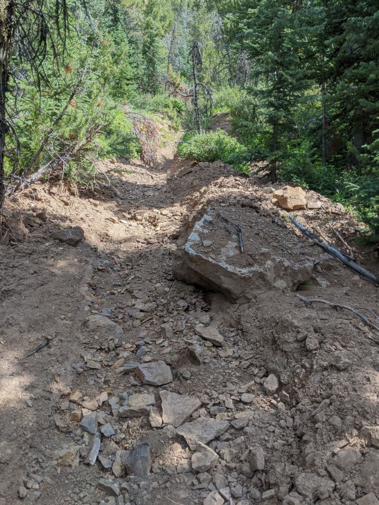
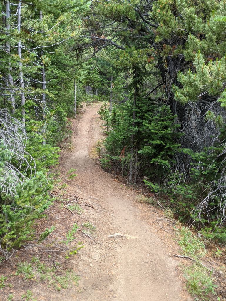
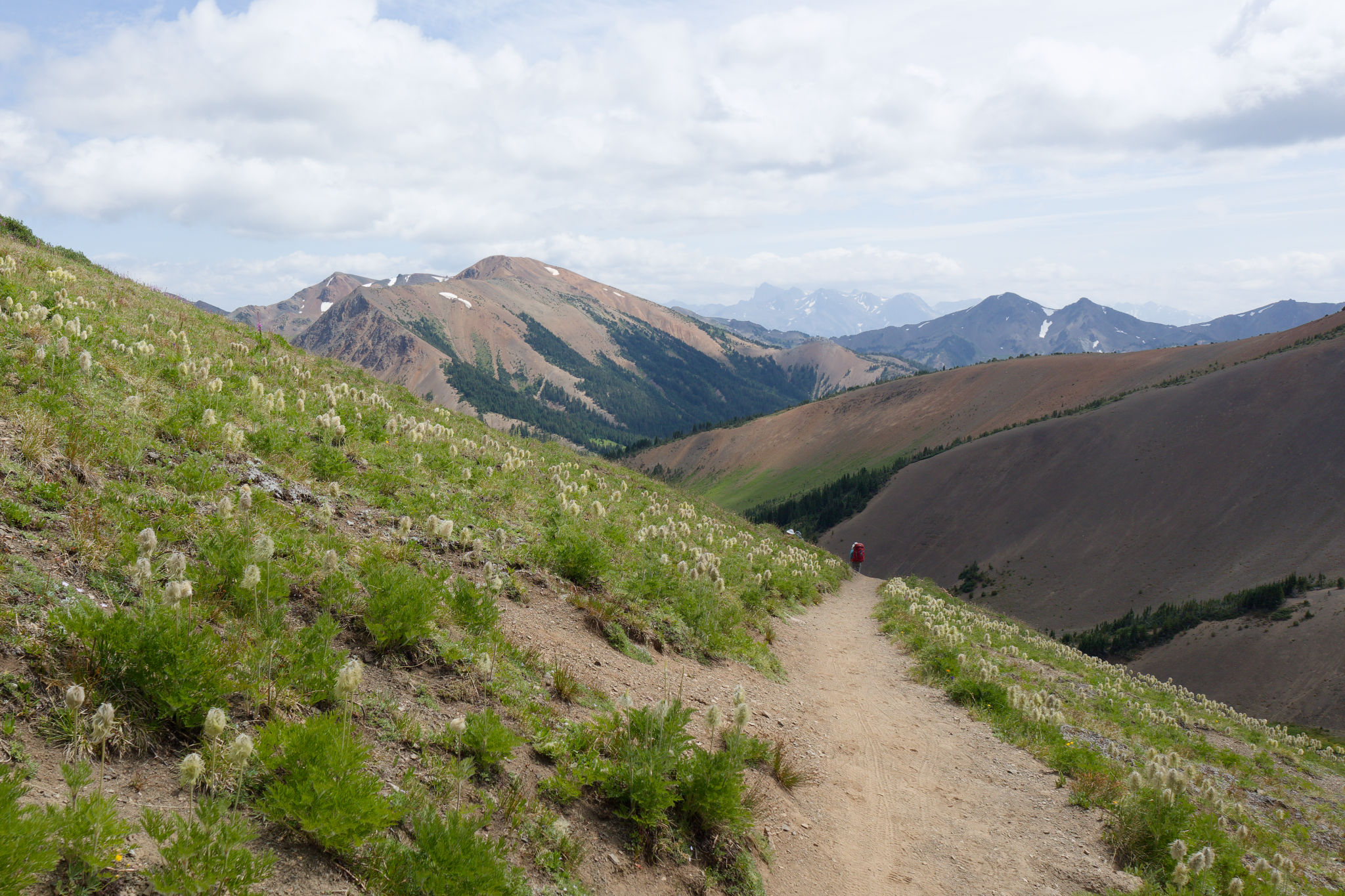
A downhill section enabled the slow rider to make some progress and we soon lost sight of them. That’s better! We could walk at our own pace and enjoy the peaceful forest, ascending steadily through switchbacks and passing through sunny openings. It was definitely a bit of a tough climb, made more difficult by the now gravelly surface, sometimes worn into a v-shaped channel by mountain bike tyres – these are so awkward to hike on. But we persisted, pushing upwards, resting in shady patches and taking in our surroundings.
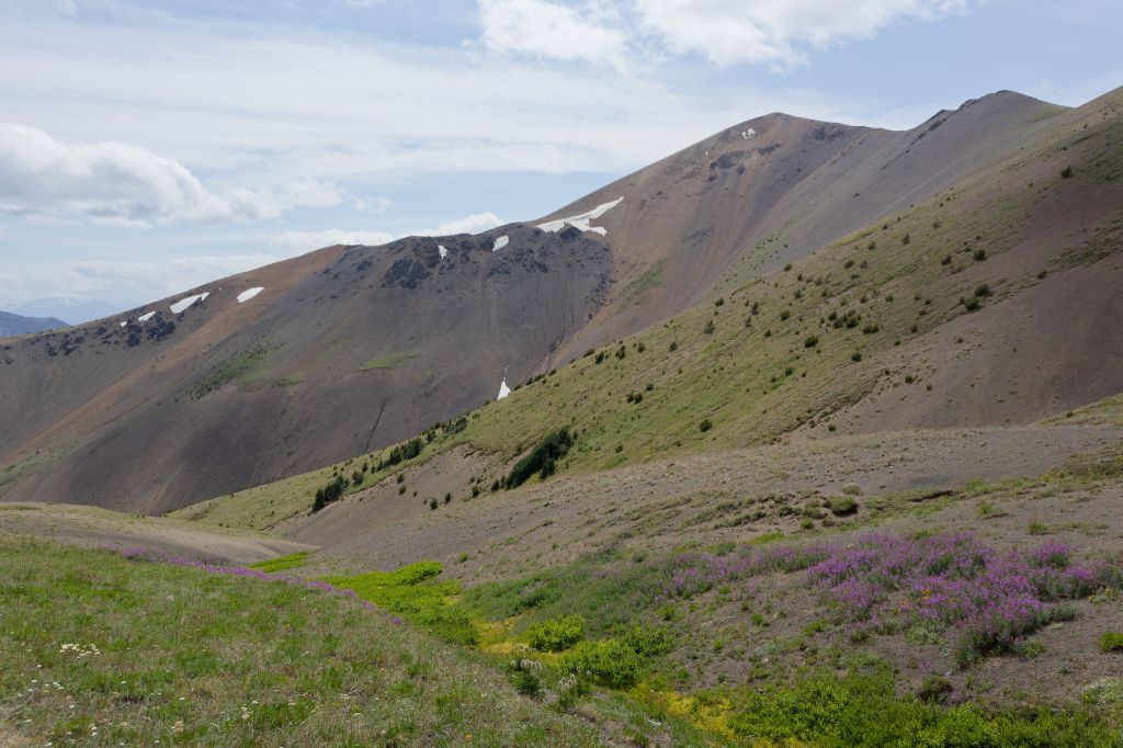
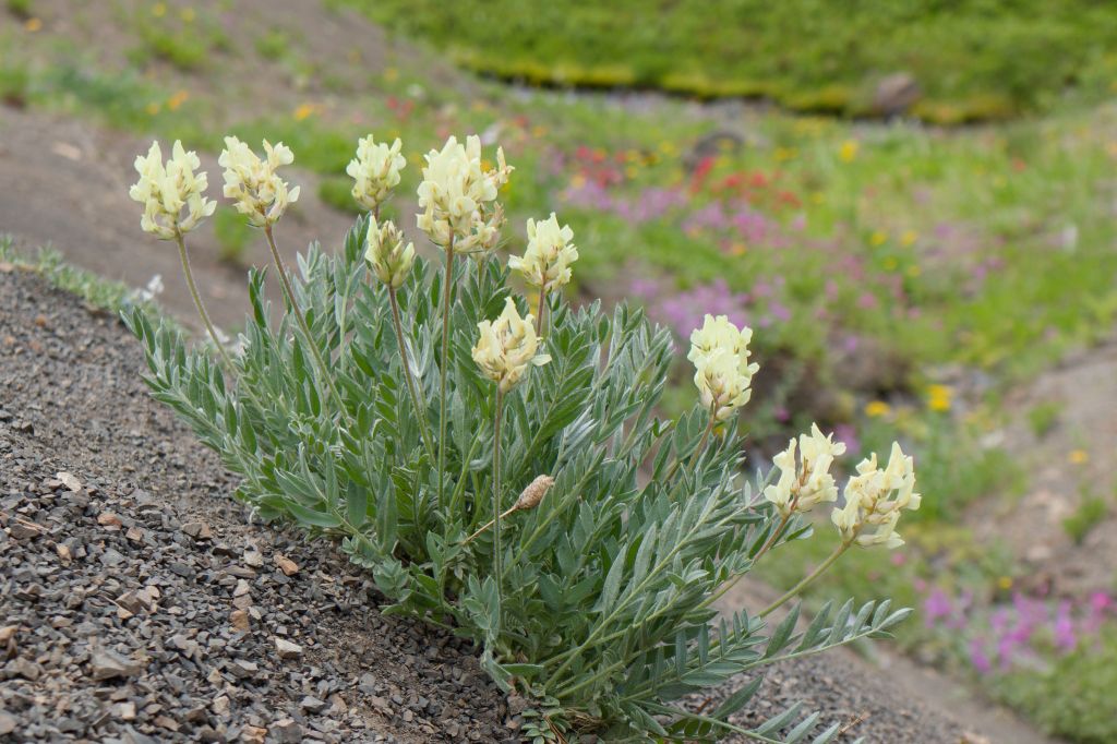
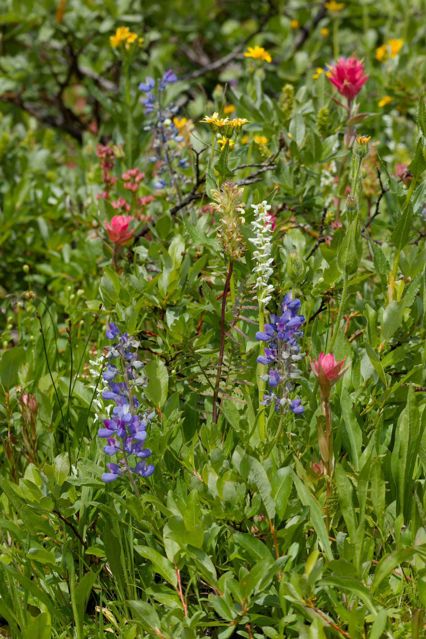
The trail was now close to the tumbling creek and the steep slopes up to our left had opened up into meadows full of stonecrop, lupines, paintbrush, western meadow rue, and others. The sun was hot out in the open and we were thankful for the patches of cool forest. The abrupt whirr of wings stopped us in our tracks as a grouse chick took off into a nearby tree, its mother staying calmly on the ground and clucked gently. I think the softer wings of the youngster meant that our heart rates didn’t spike quite so much! A small meadow came into view where the mountain bikers had stopped to rest and they beckoned us to join them in the clearing. We politely declined, preferring the shade where we also stopped to rest awhile. The mountain bikers soon moved on and that was the last we saw of them.
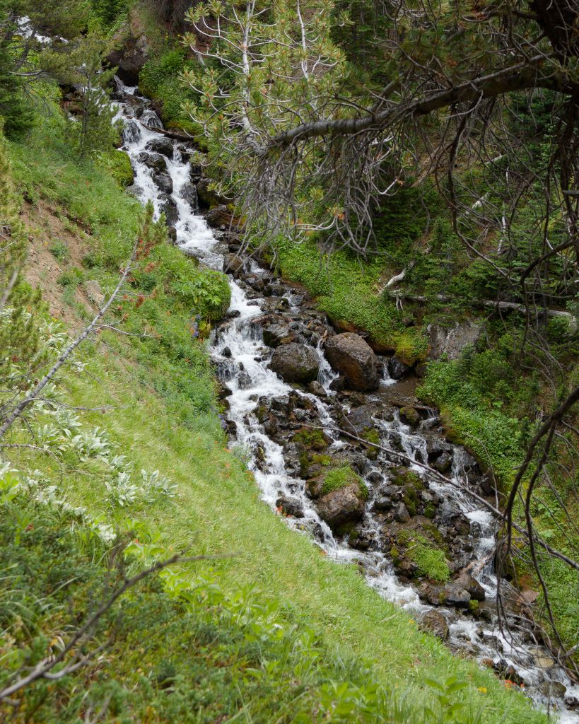
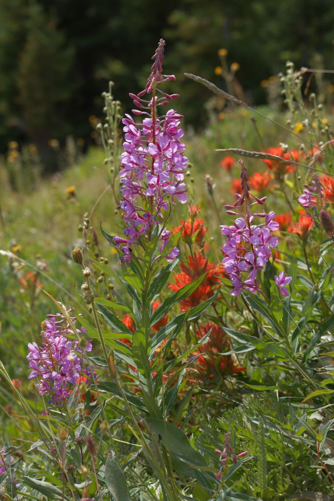
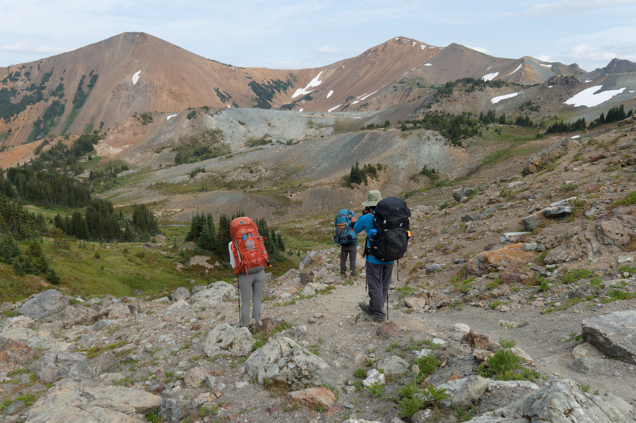
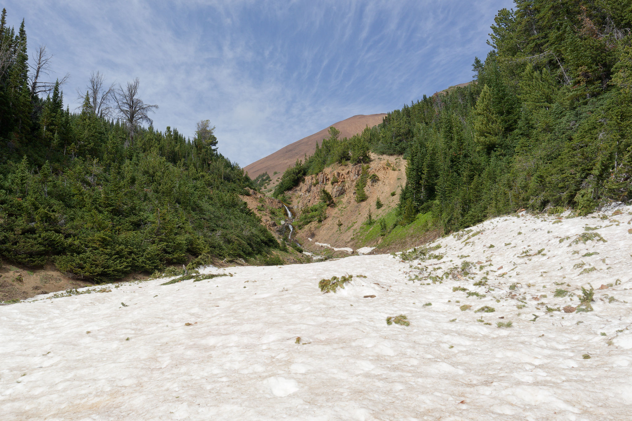
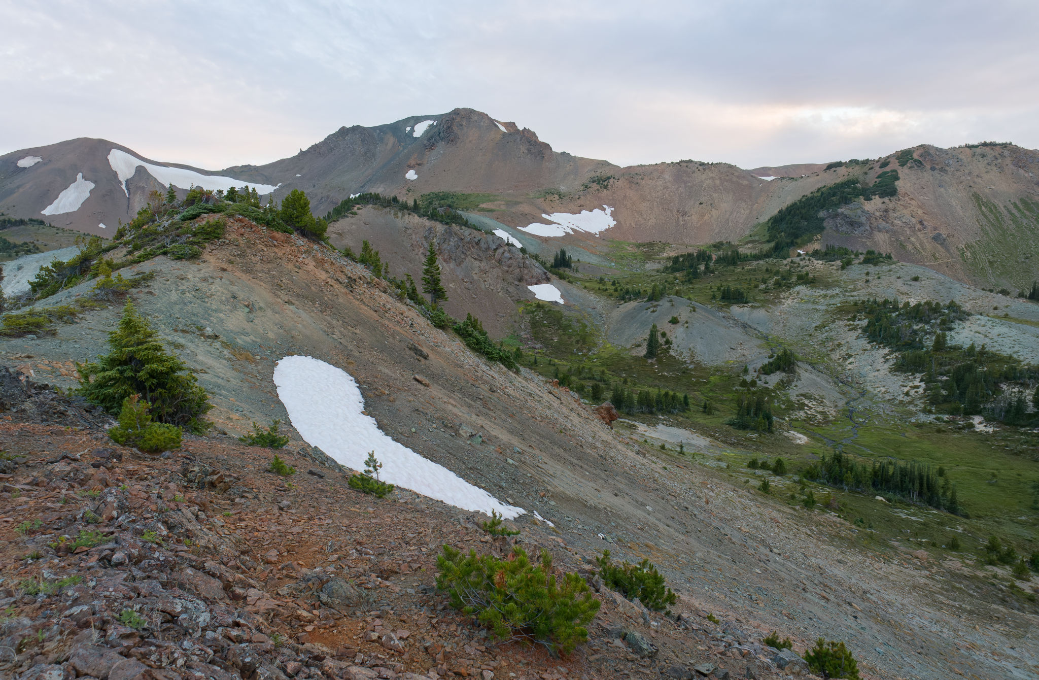
After a refreshing rest we continued our ascent, now with more frequent views and glorious flower-filled meadows. The creek rushed away to our right, sometimes in beautiful cascades lined with flowers. It was so tempting to dunk our overheating heads – had the creek been closer I’m sure that’s what we would have done! Up, up, and more up, with views, views, and more views. The valley opened out into meadows of flowers and low willows dotted with pines, the creek now a shallow gurgling stream. Marmots whistled at our presence, a sure sign we were entering the alpine.

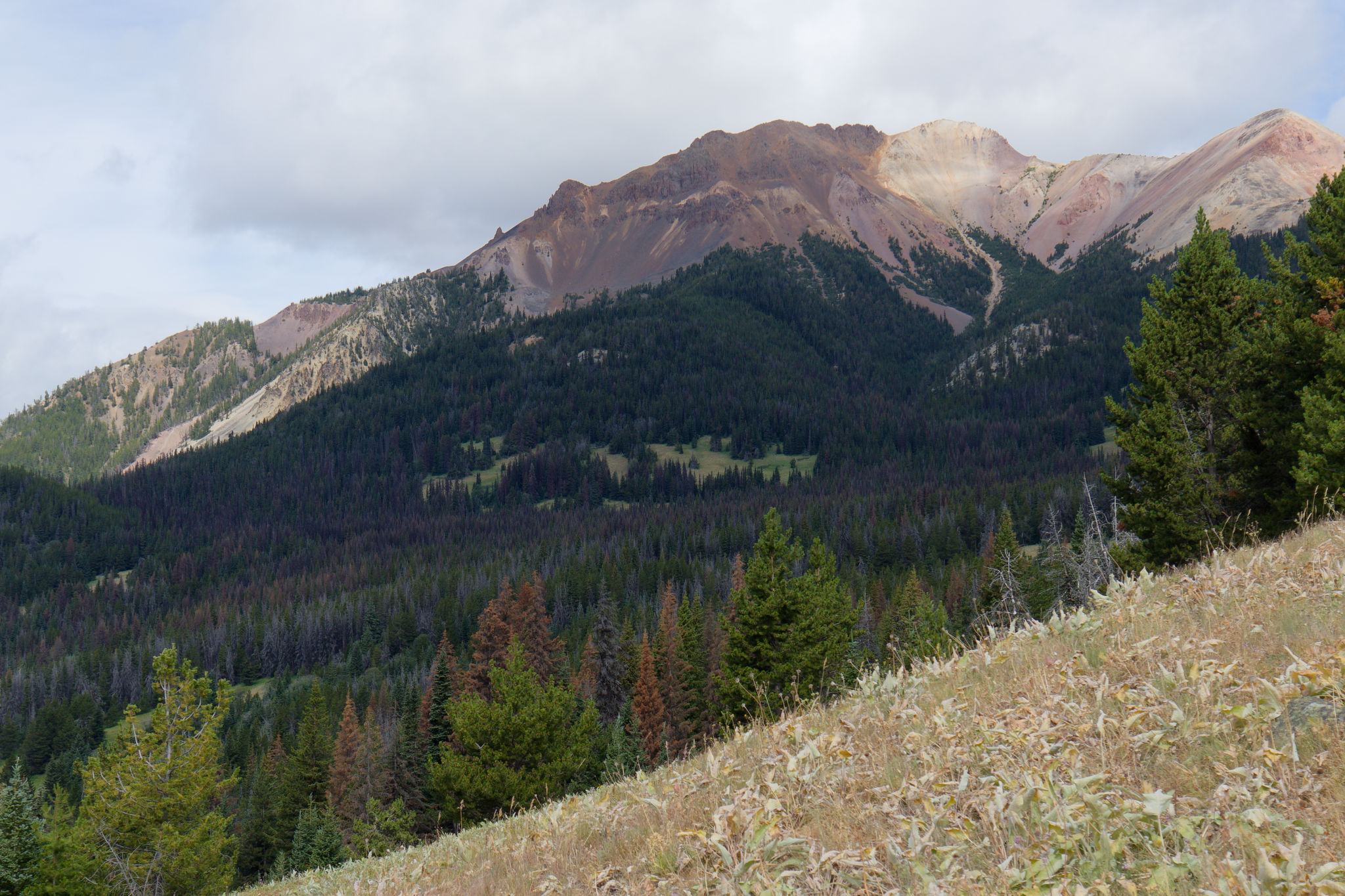
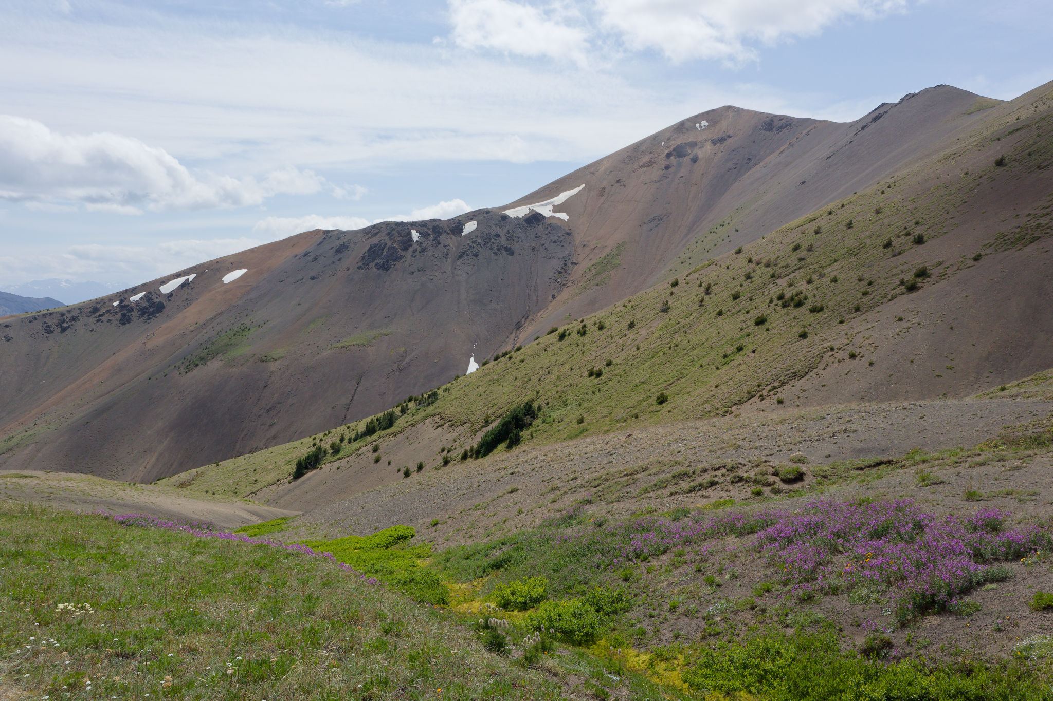
The climb continued up away from the creek on a dry, dusty rib, following a narrow path carved through the pines and firs, eventually leaving the trees behind near the head of the valley where a couple of well-graded switchbacks led us to the top. Now we had clear views across to the unofficially-named Stegosaurus Mountain (by us) and beyond to more cloud-topped mountains. It was a beautiful sight. Of course, having left the shelter of the trees, the wind hit us again and we sought shelter to rest and refuel, and to admire the view. Windy Pass was living up to its name and we were grateful for a lone patch of small trees, just big enough to block the wind.
At some point along the climb we created a group poem that went something like this:
The birds are singing
The flowers are blooming
The creek is burbling
The wind is … breezing?
Maria finished it off by saying, “Sounds like poetry to me!” The mountains truly bring out the best in us! 😂
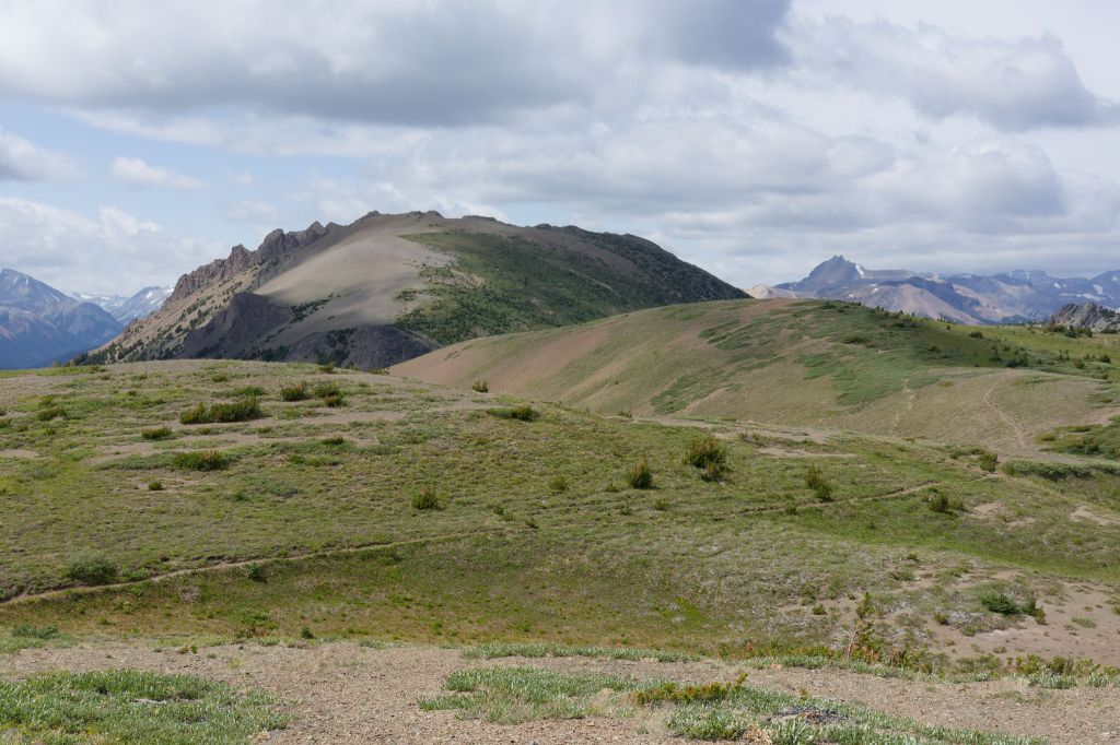

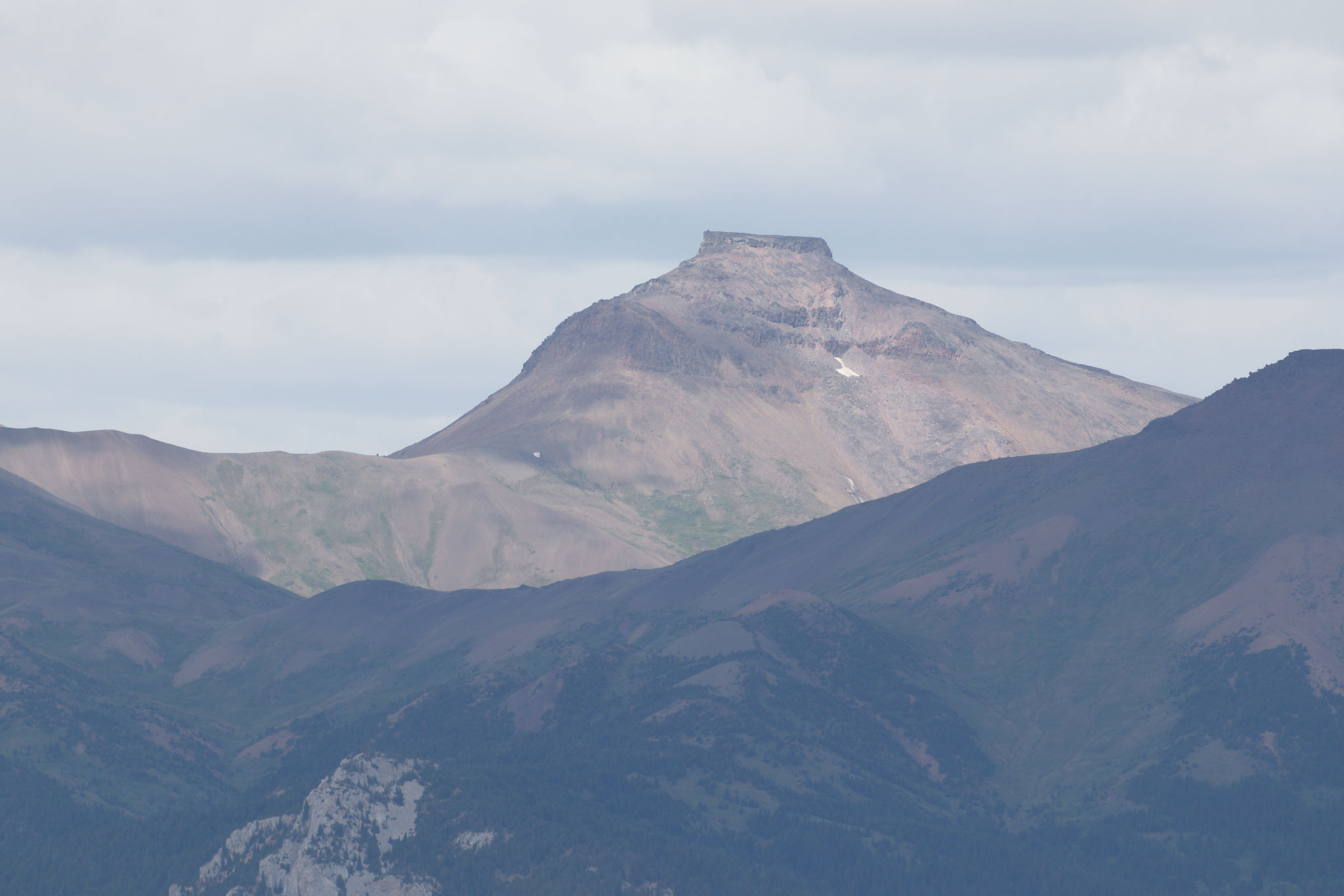
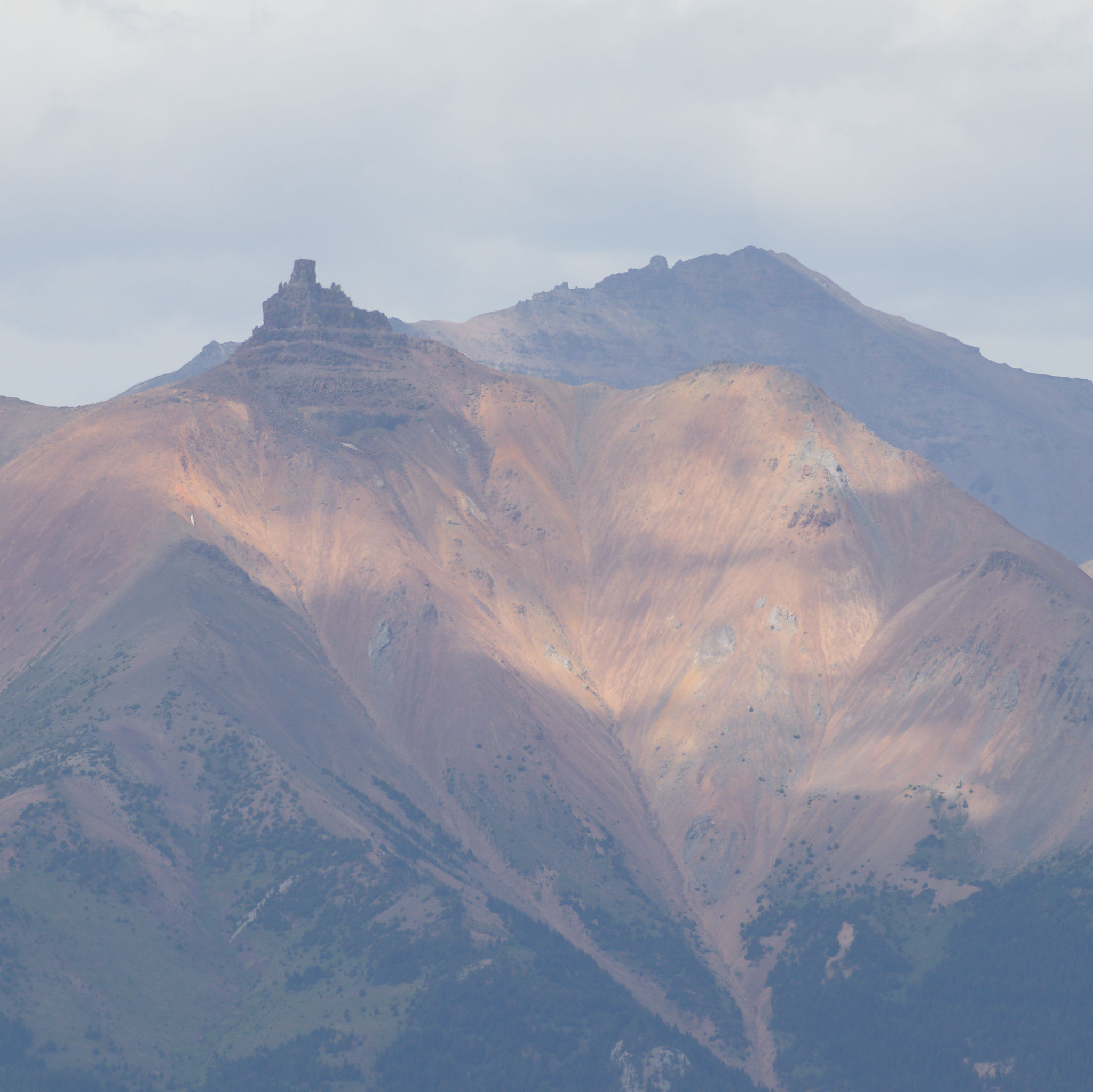
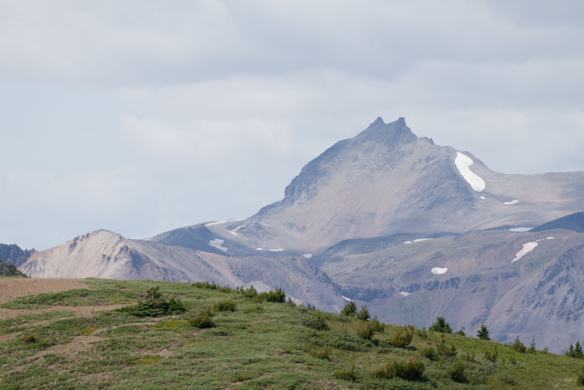
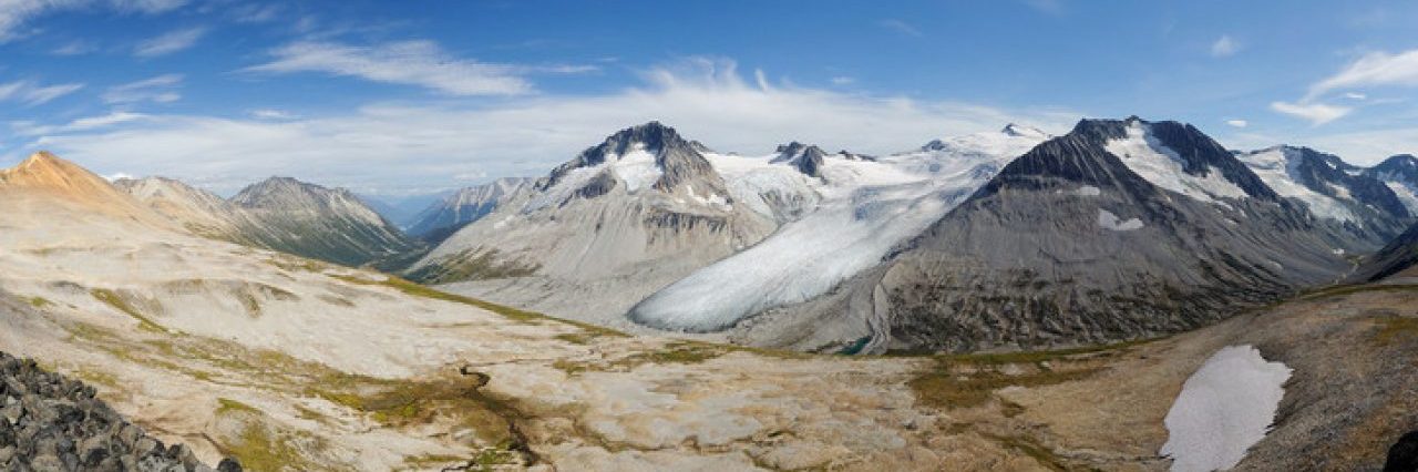
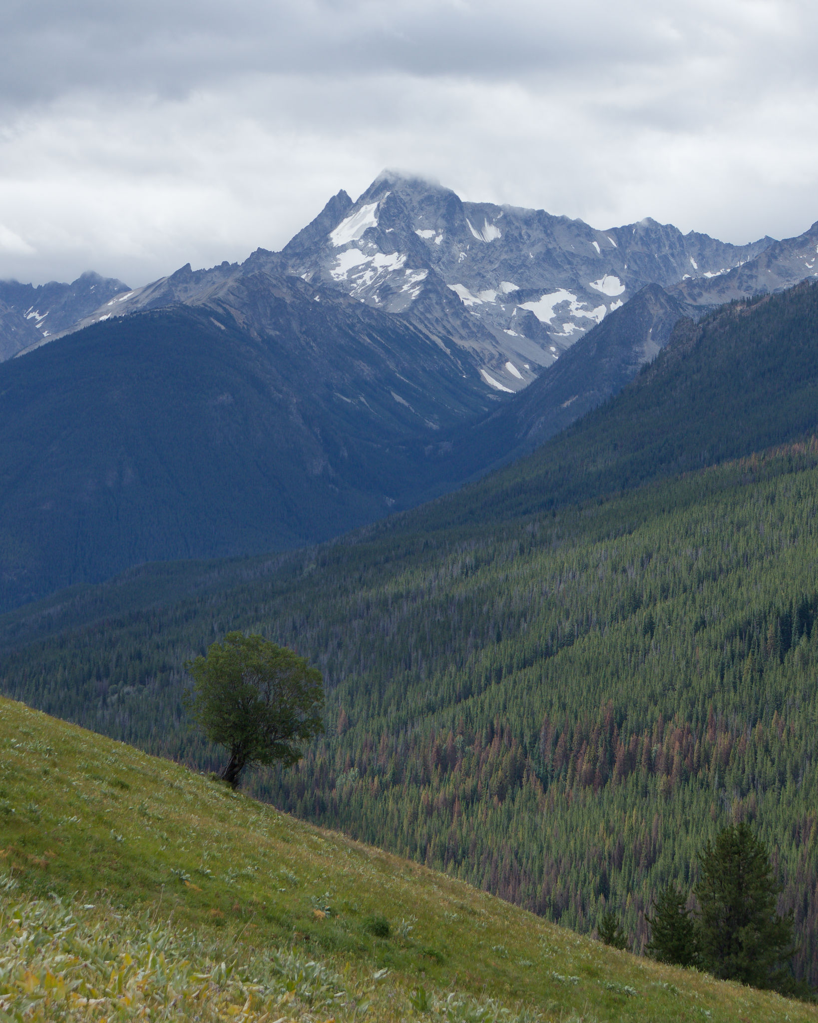
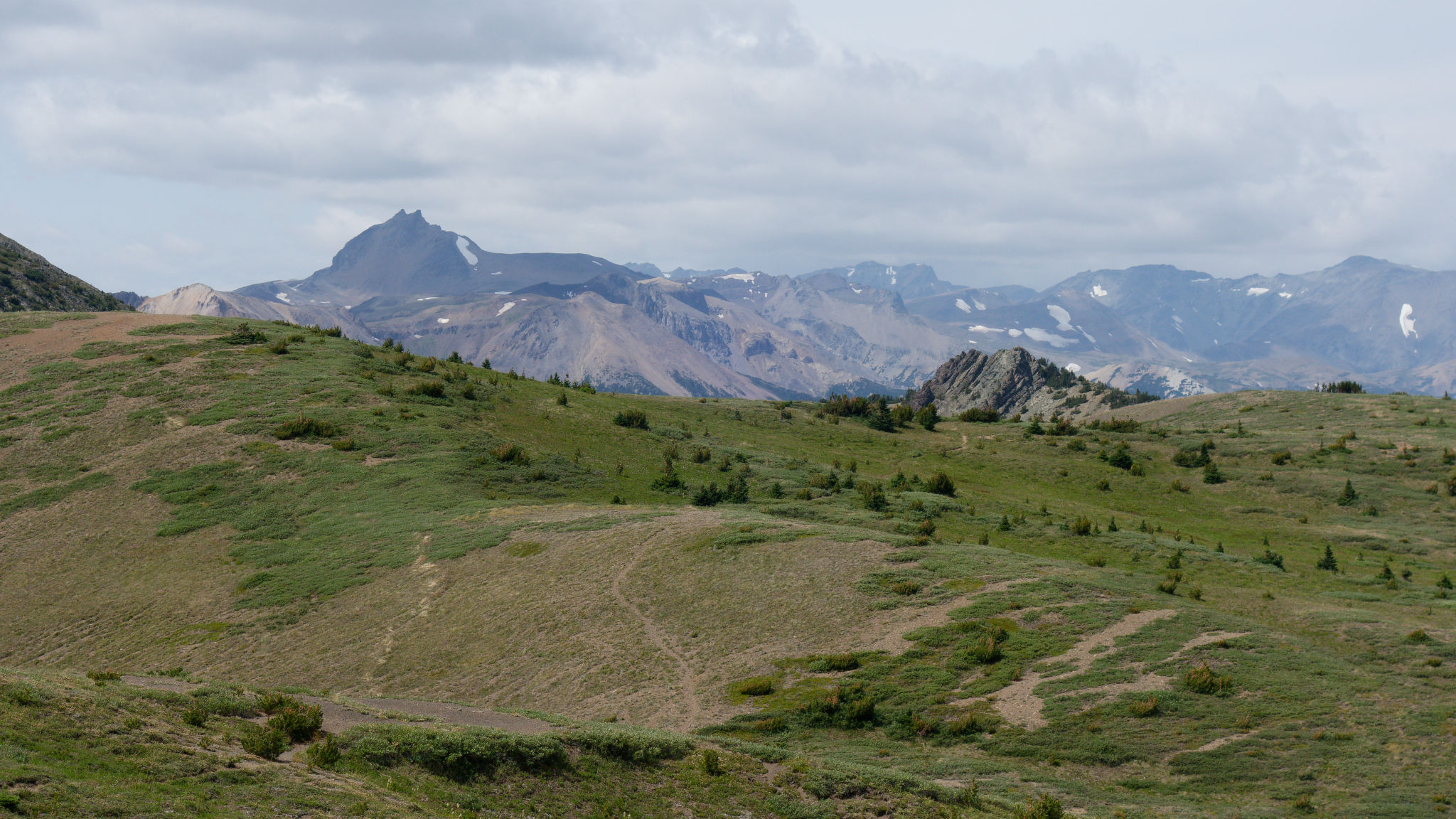
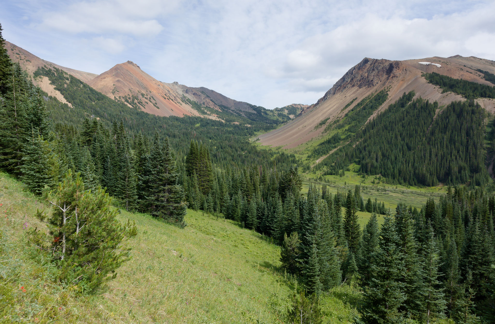
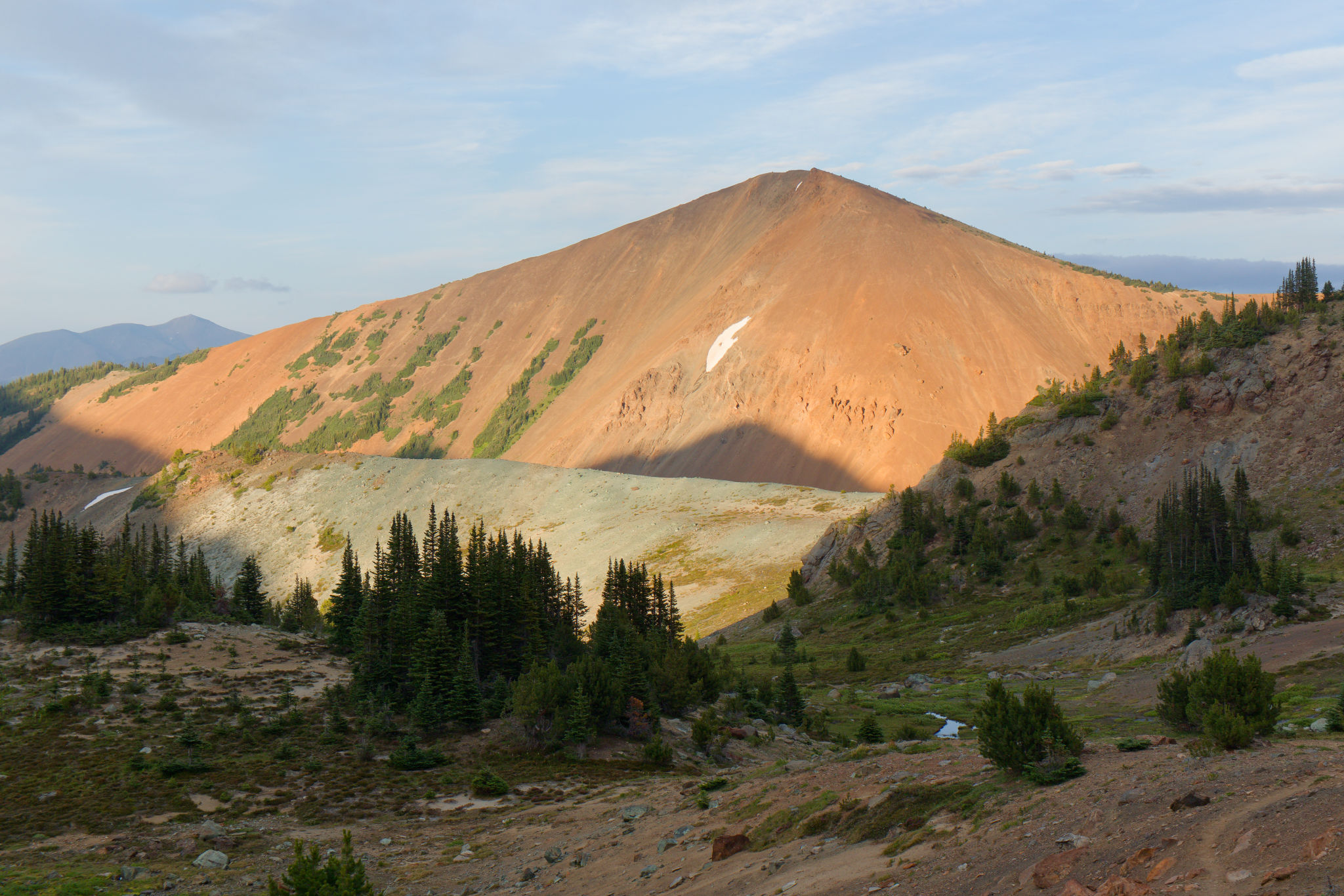
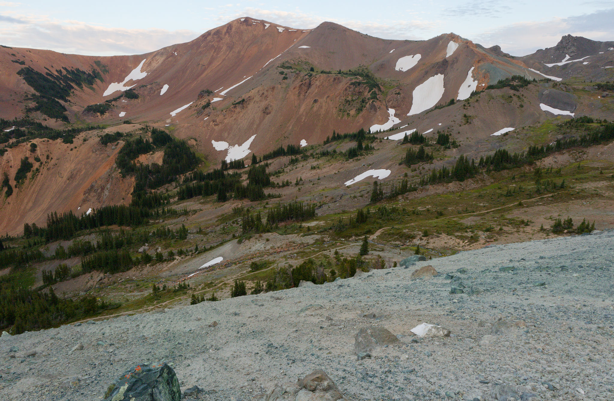
We had completed the first climb of the day and it felt good to take off our packs and enjoy the view. To the north we could see the Castle Peak area, with the flat-topped Cardtable Mountain looking particularly impressive. Mount Sheba was clearly visible to the west and we marvelled again at how intimidating it looked. I took a few photos with the telephoto lens and as I viewed those photos I simply could not fathom how we summited it with relative ease. And that’s before looking at our precipitous descent route which looked utterly implausible, if not impossible. As with our visit to Windy Pass in 2018, we eyed up the path leading towards Stegosaurus Mountain with curiosity but, once again, any exploration in that direction would have to wait for another time.
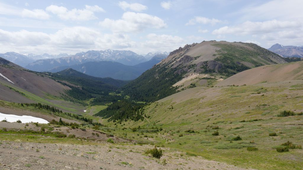


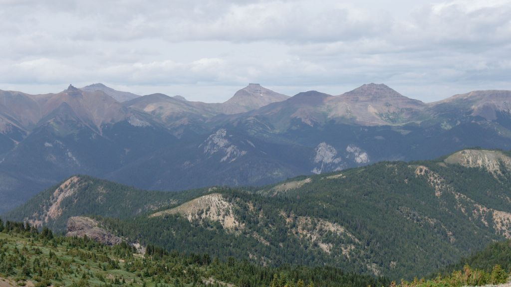
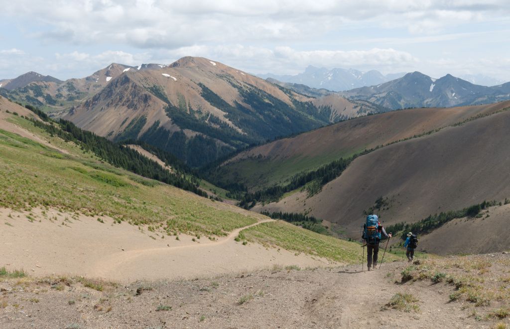
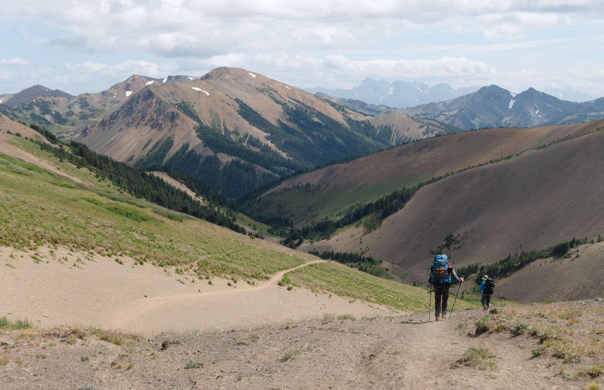
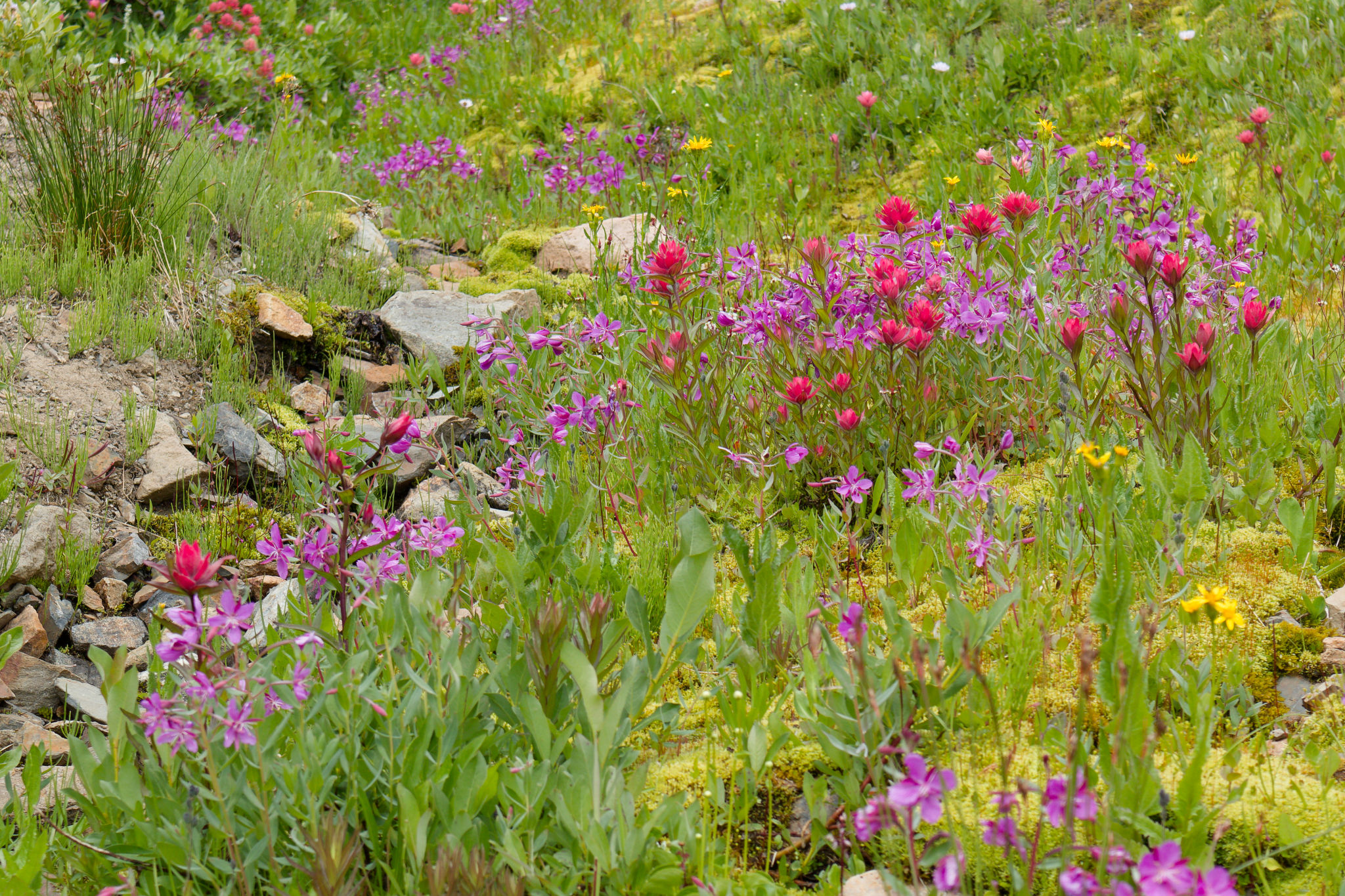
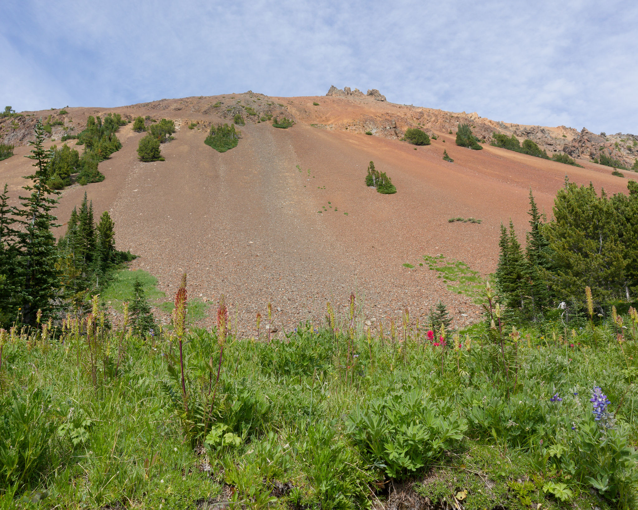
And so we picked up our packs and carried on, waiting for a group of mountain bikers to descend from Spruce Peak before walking through Windy Pass, broader than I remembered, and beginning our descent. While I’d forgotten how broad the pass was, I hadn’t forgotten the expansive view into the Eldorado valley and beyond. Green meadows splashed with pink fireweed swept down from the red rock peaks to our left while clumps of moptops surrounded the dusty path. The slopes to our right were criss-crossed with game tracks, probably created goats or marmots. It was wonderful hiking despite the strong buffeting wind and we revelled in the views of Harris Ridge in front of us. We reminisced about our hike there in 2018 and the intense hail- and thunderstorm that chased us off the ridge.

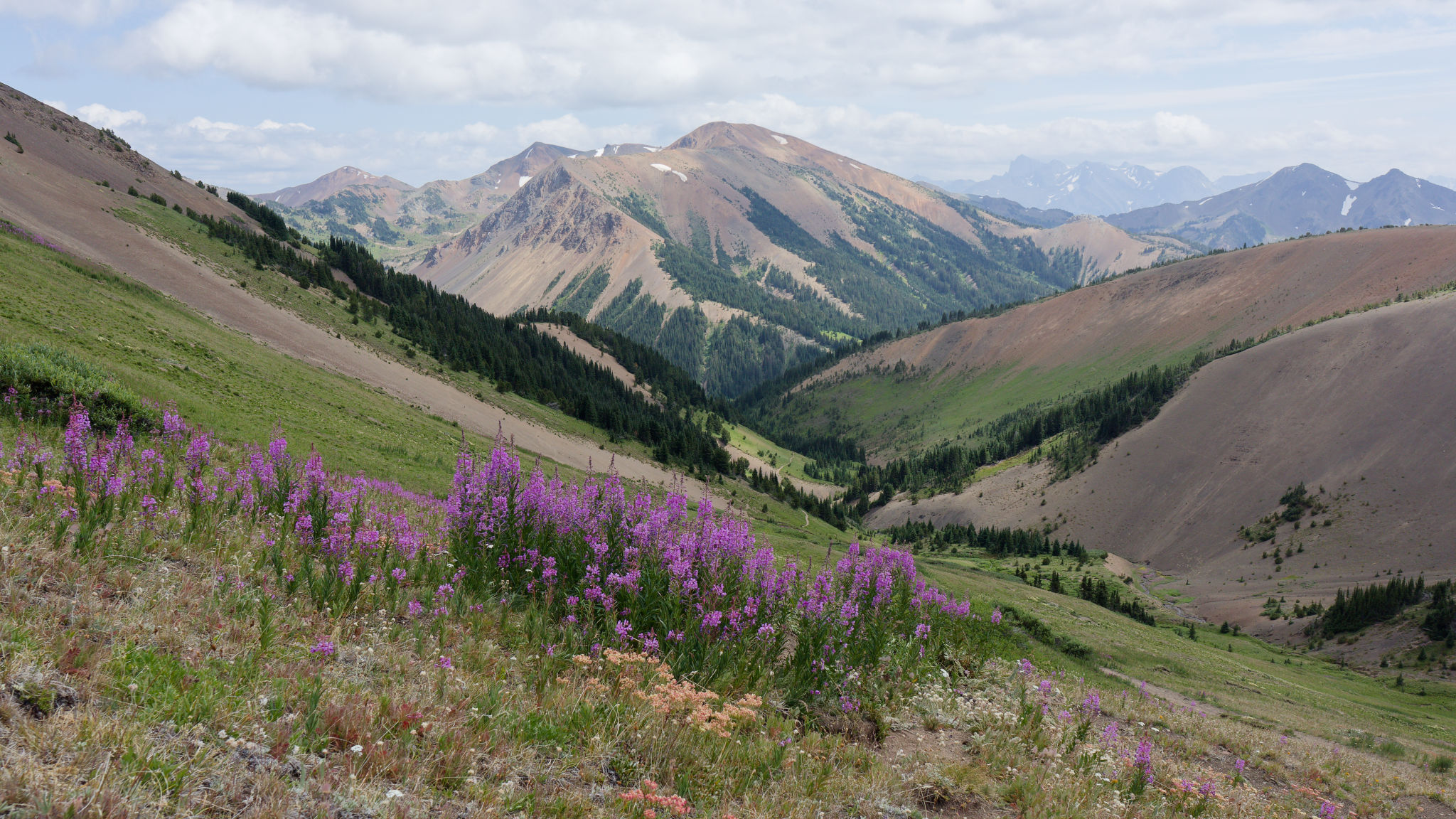
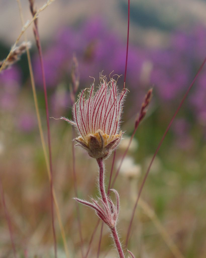
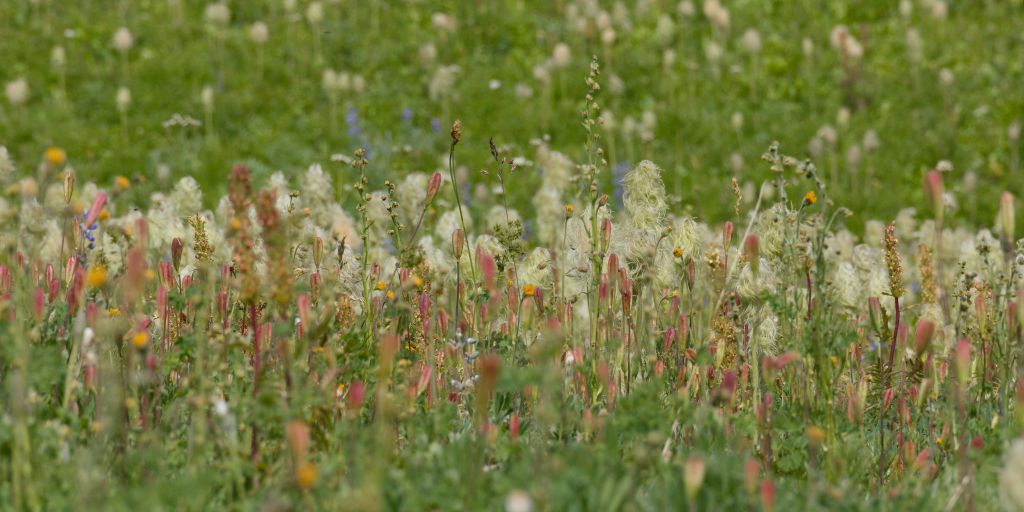
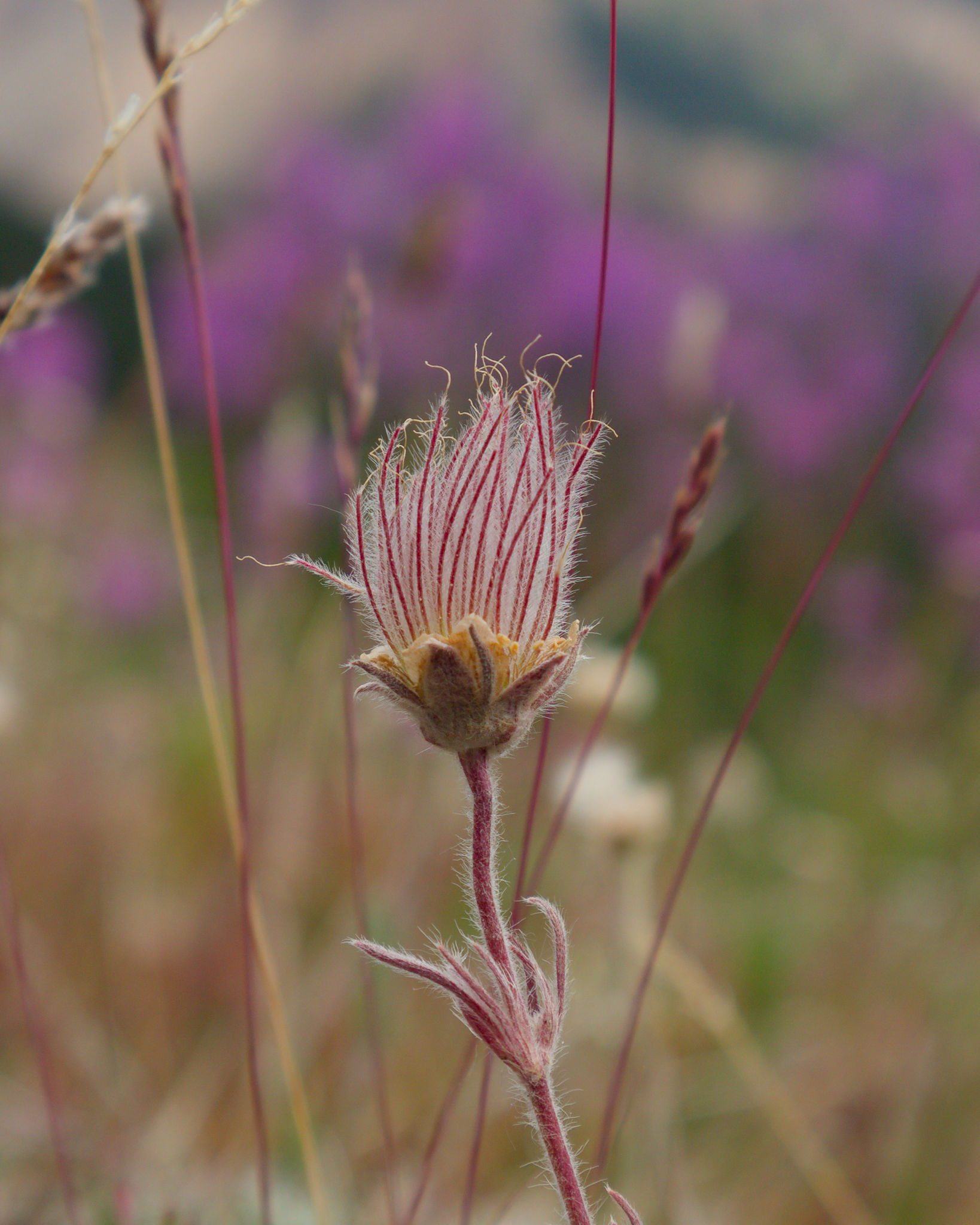
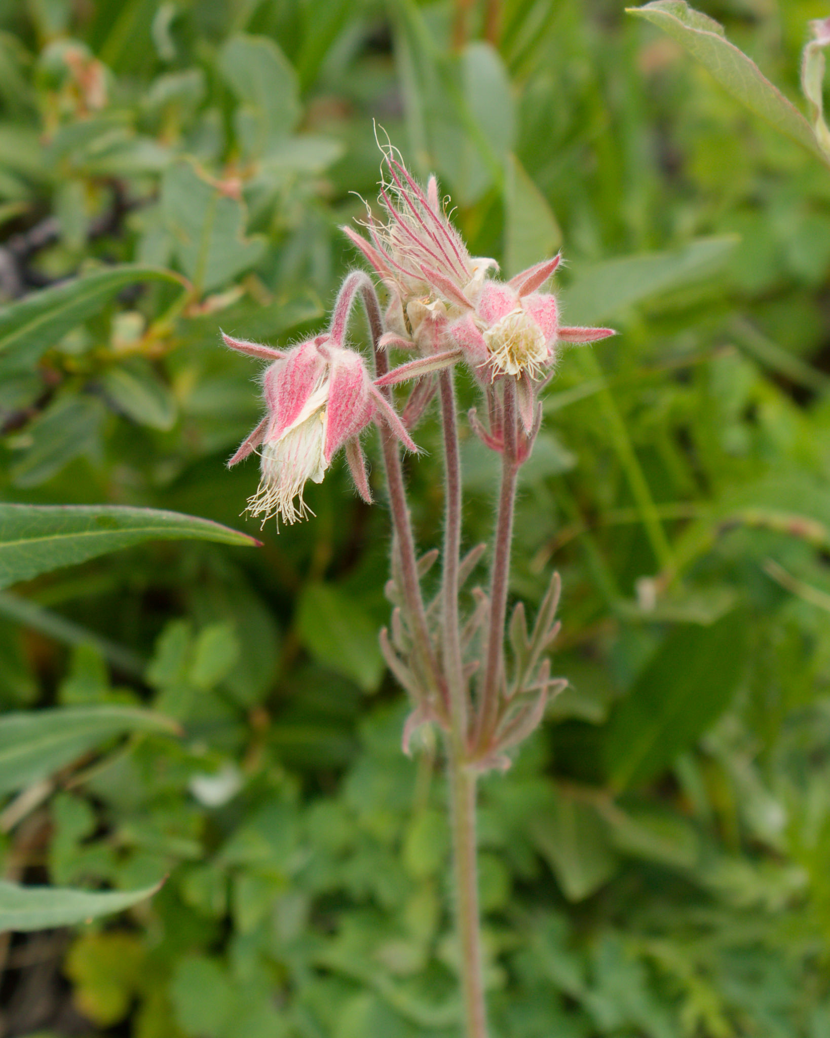
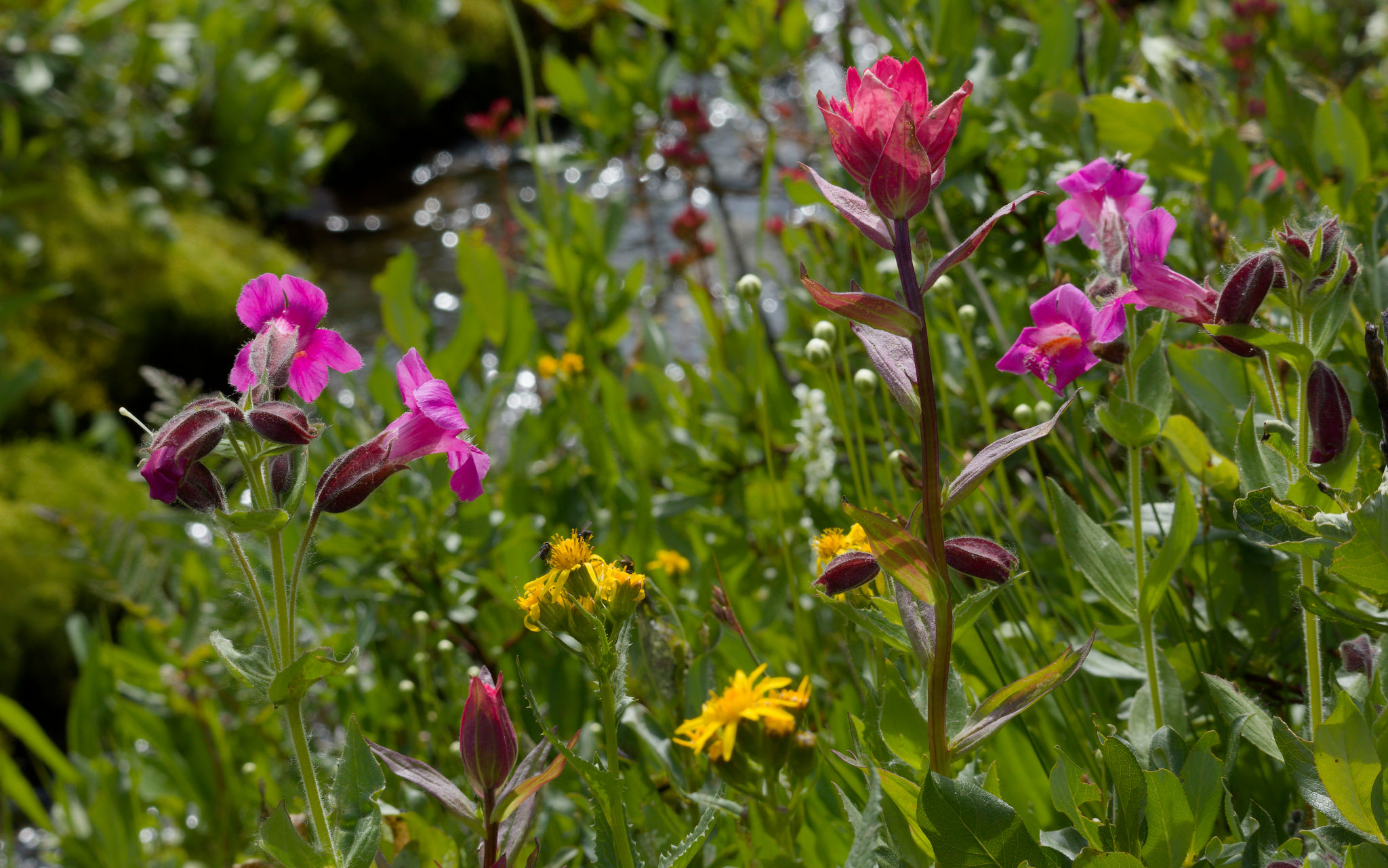
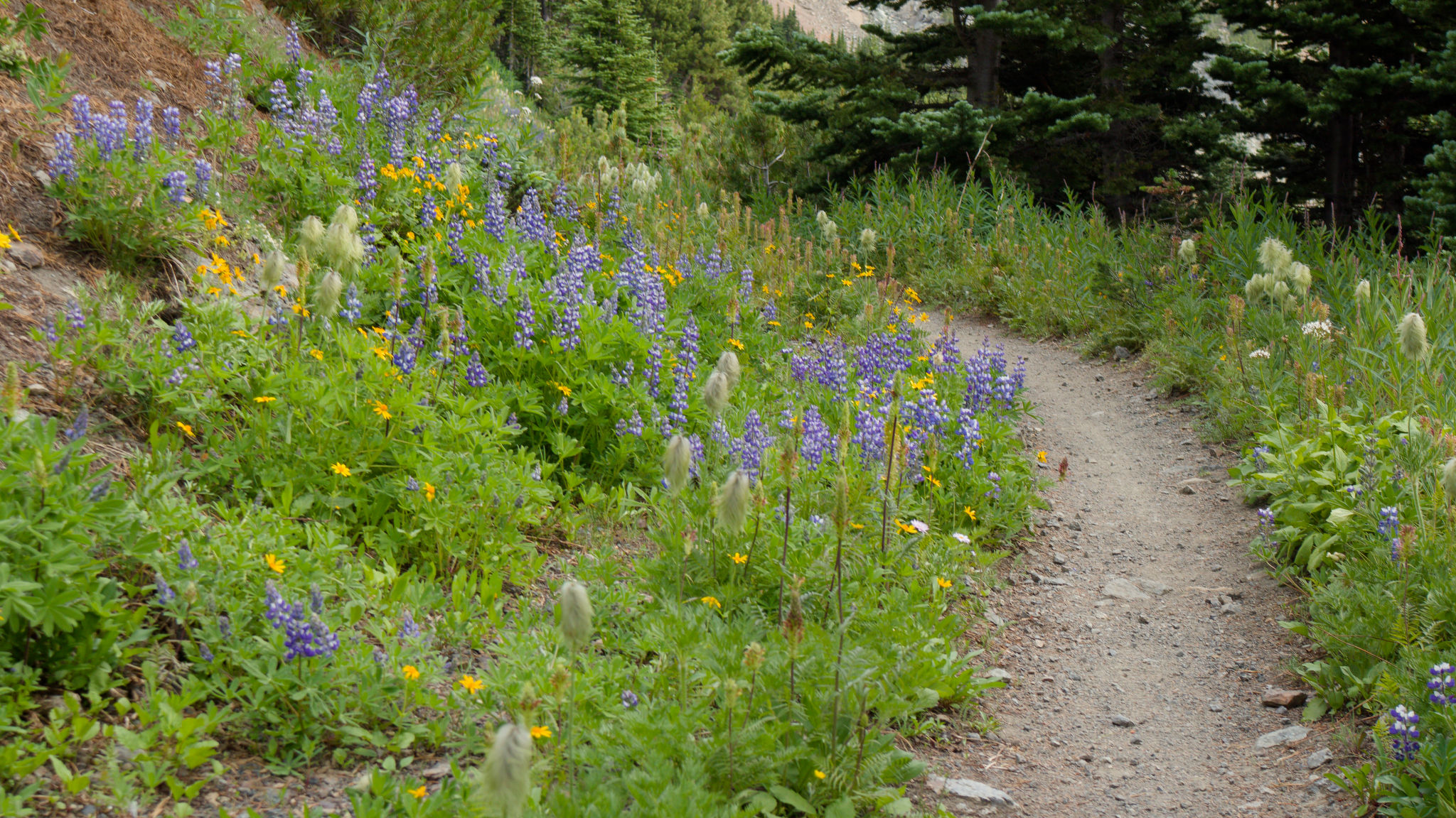
The meadows filled with more flowers as we descended which saw me stopping ever more often. We’d all visited this area previously but we all remarked on how beautiful it was and how it felt like we were seeing it for the first time. We crossed small creeks lined with a multitude of flowers – lupine, paintbrush, white bog orchid, pink monkey flower, leatherleaf saxifrage, broad-leaved willowherb, arnica, and fireweed. Much to my delight, a few three-flowered avens were hanging on too. Such incredible beauty!


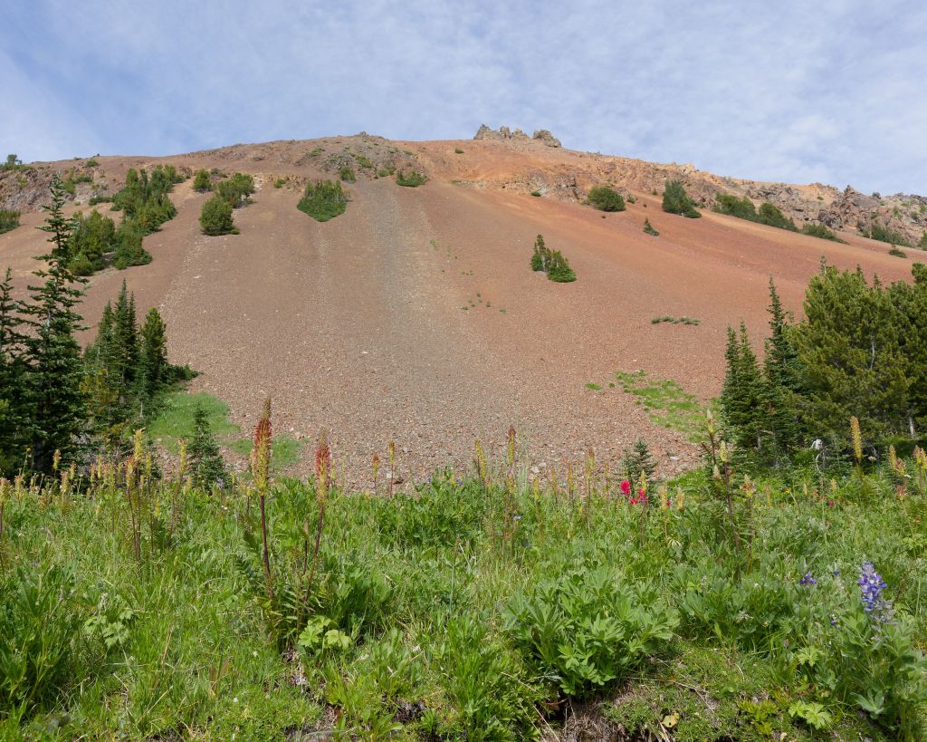
The wind had dropped as we descended and we found a flat area off to one side of the trail to rest and have a (very) late lunch. It was such a beautiful spot and we took the time to relax and soak in a little sunshine. After a while Stephen pointed up at the ridge and exclaimed “goats!” Sure enough – high up on the ridge line we could make out a number of white blobs that were clearly not rocks. I checked them out with the camera and started counting – 7, 8, 9, at least. It was hard to tell as they were all lying down, undoubtedly chewing the cud. They stood out so clearly against the reddish ground and the blue sky and we watched to see if they moved but they seemed settled for now. I returned to photographing the flowers, past and present – there were hundreds of glacier lily seed pods and moptops.

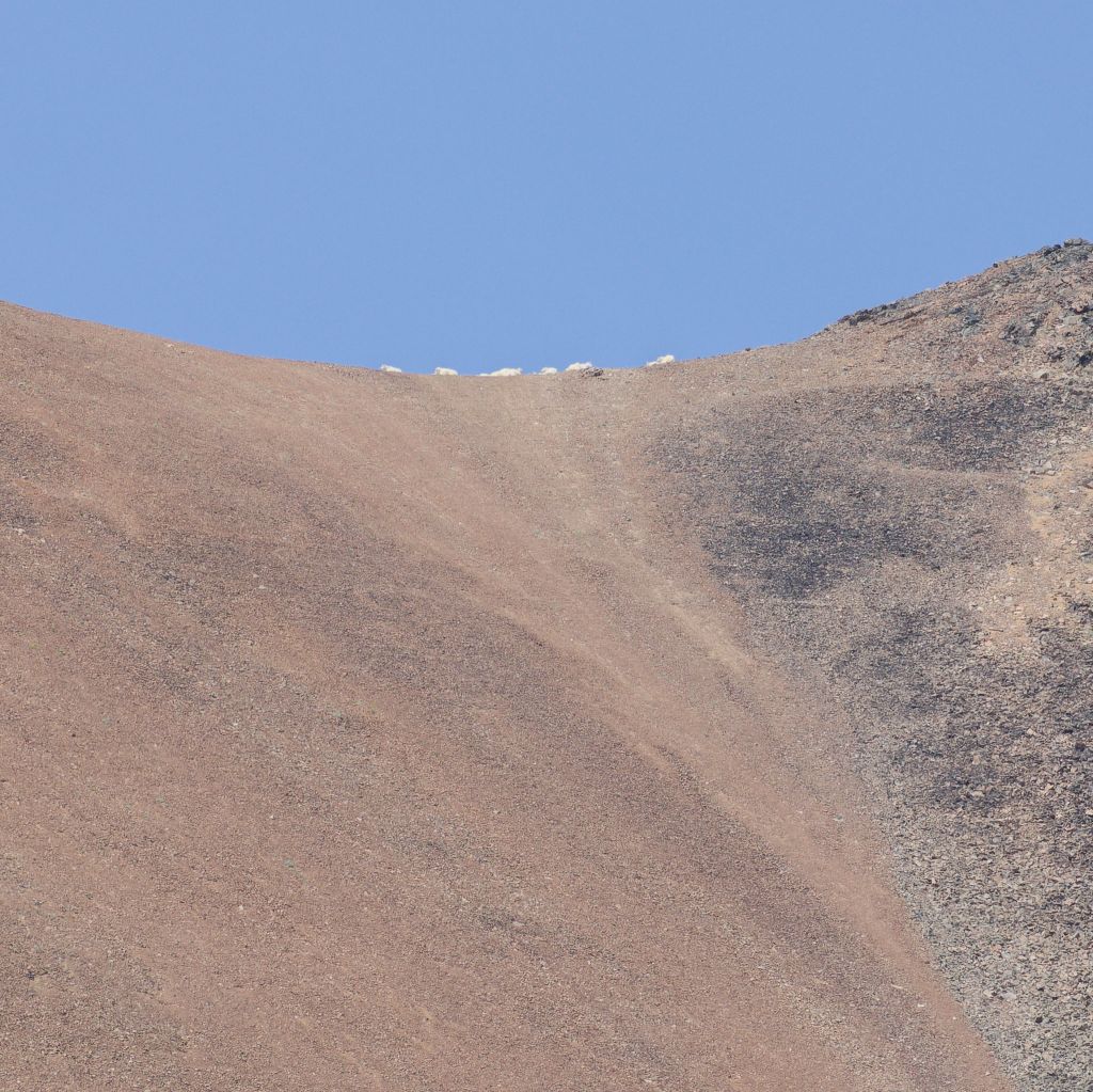
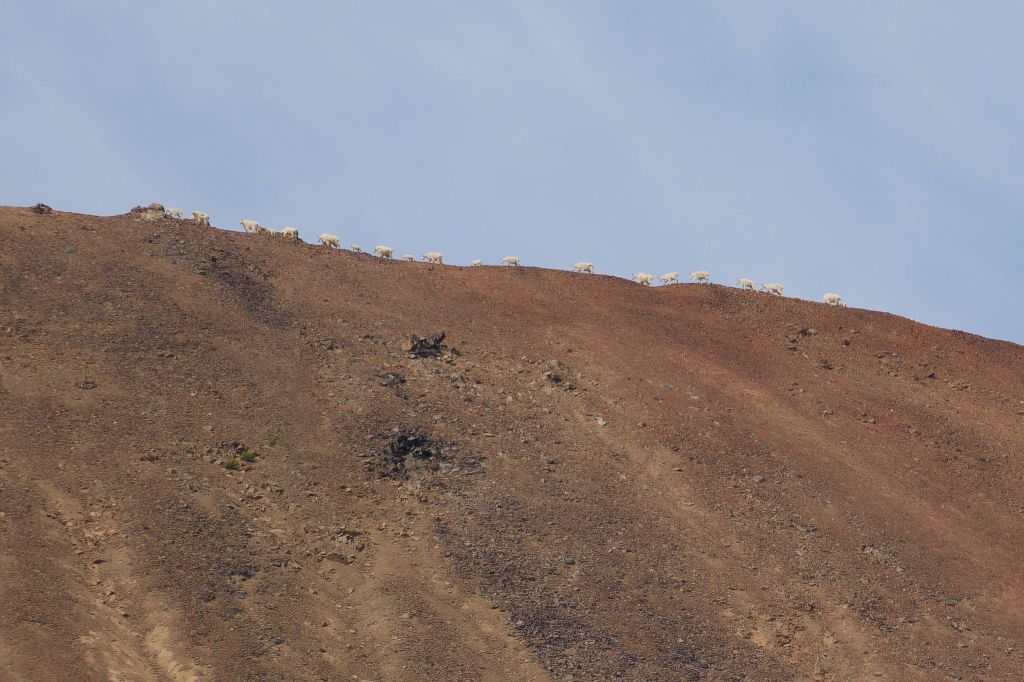
Checking in the goats again we noticed they were now on the move, heading west along the ridge. The heat haze made it difficult to focus the camera but I could see well enough to count even more – at least 22 in the group including half-a-dozen kids sticking close to their mothers. We wondered if they had seen us and once back home I noticed a single goat looking in our direction in one photo, as if checking us out. Don’t worry, we’re not much of a threat all the way down here! It was wonderful to watch them make their way along the ridge and soon they started disappearing out of sight on the far side.
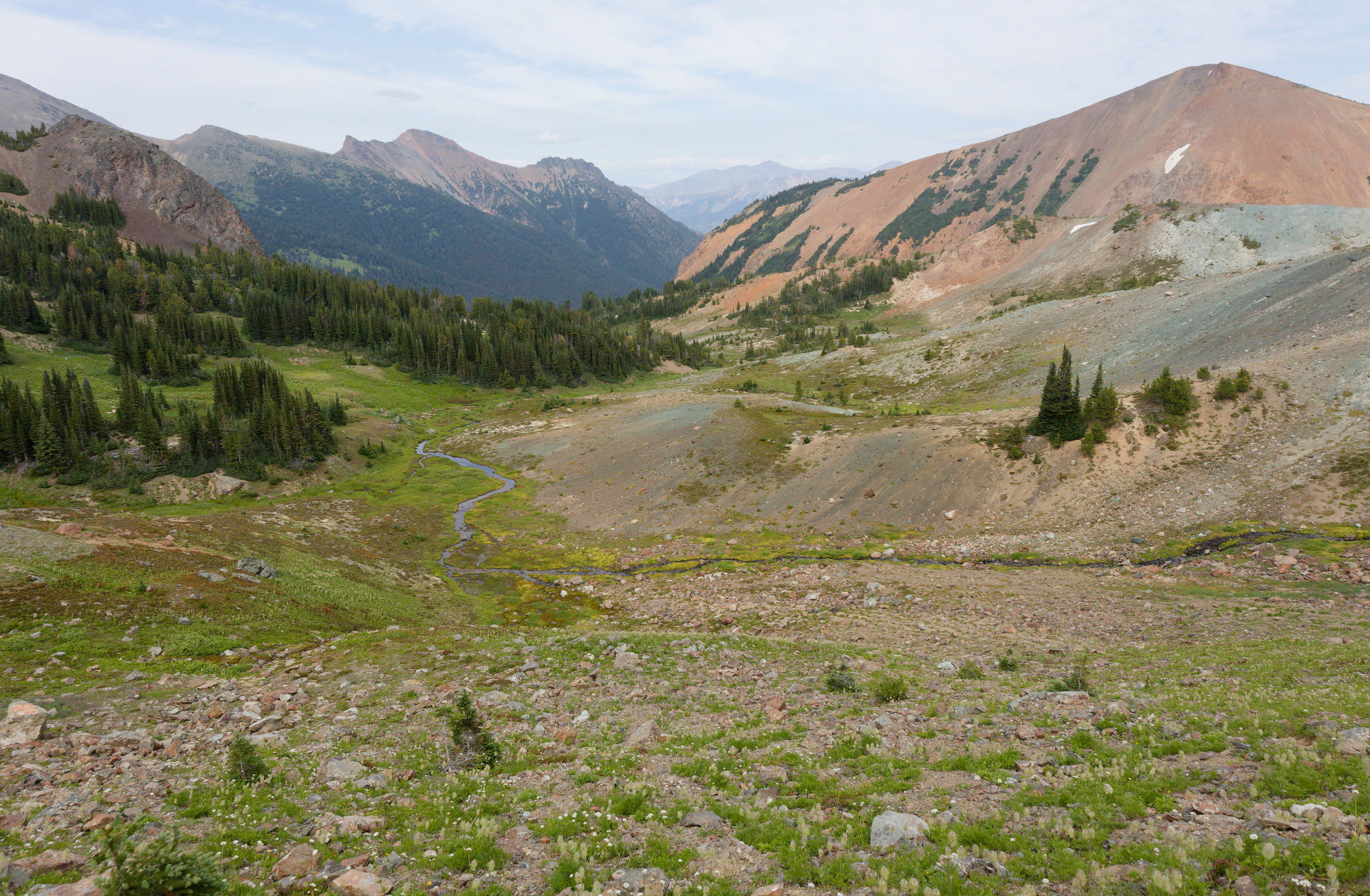
We continued our descent through ever-increasing patches of trees and soon reached the junction with the Taylor-Pearson trail which we turned onto. It was fun revisiting this area and we were able to relax knowing that the climb ahead to our second pass of the day was relatively easy. We looked over to where we’d camped on our previous trip, thinking about seeing the grizzly bear, and then ahead to the east fork of the Eldorado Creek valley. The trail junction marked the point where we left the South Chilcotin Mountains provincial park, having entered it from Big Creek provincial park at Lorna Pass 4 days earlier. We passed a few recent spots where grizzlies had been digging in the meadows, much like our 2018 visit.


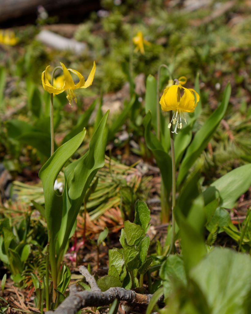
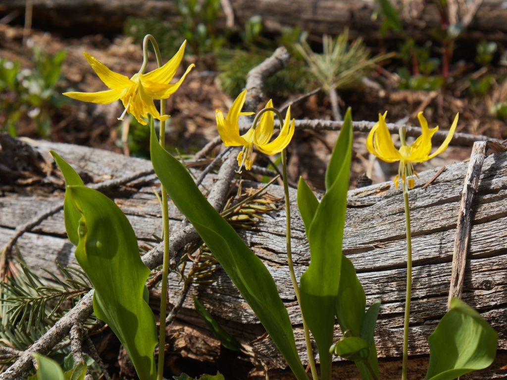
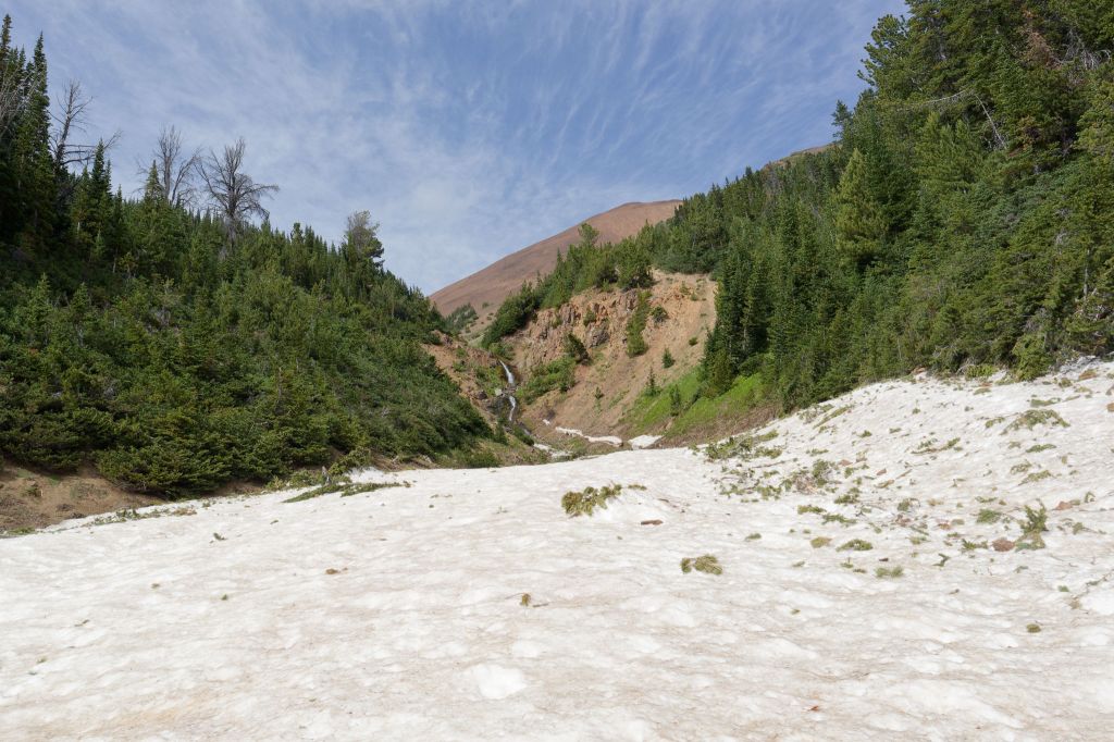
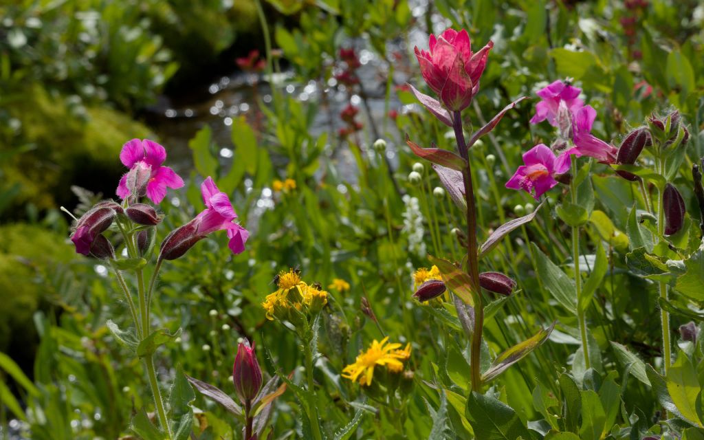
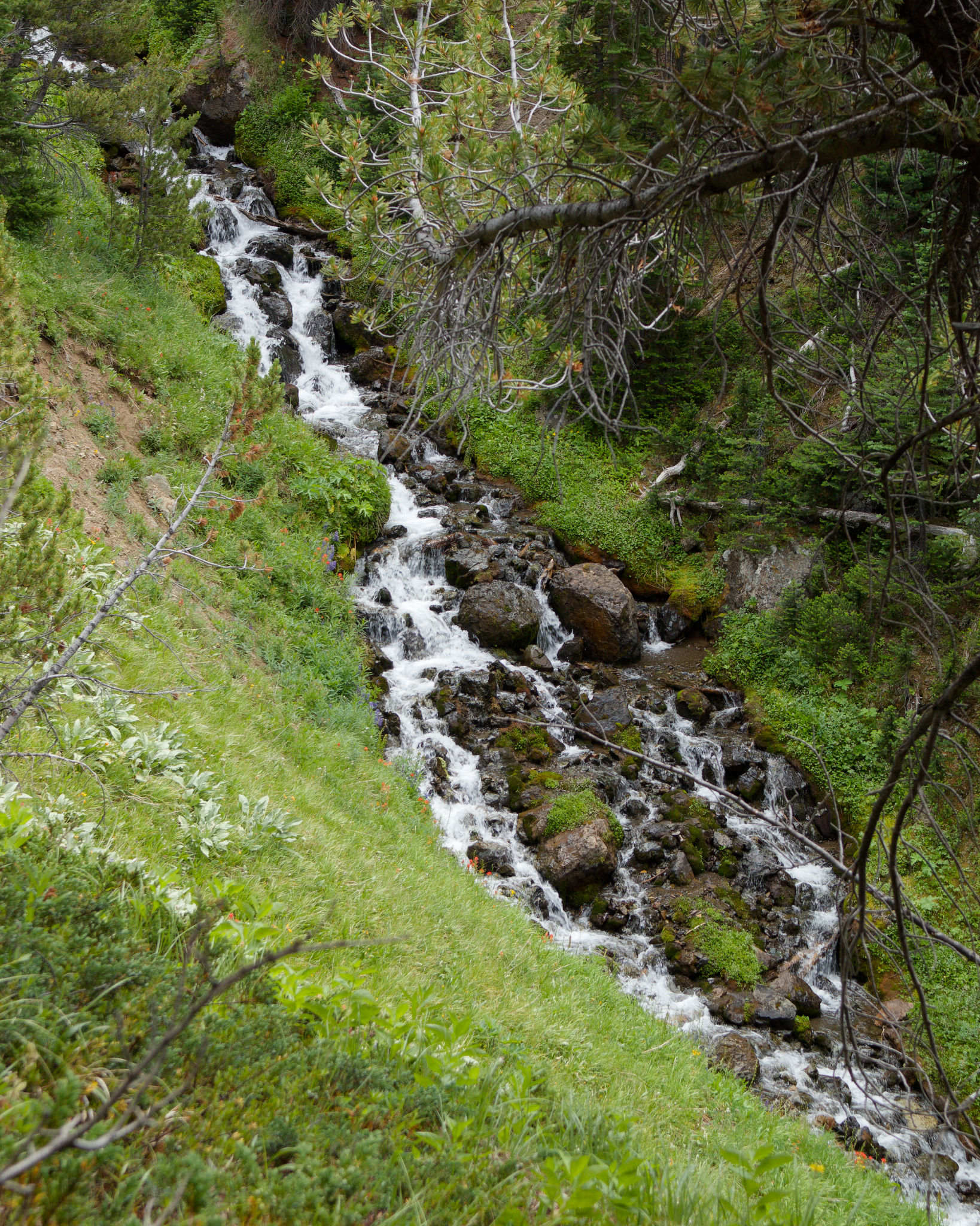
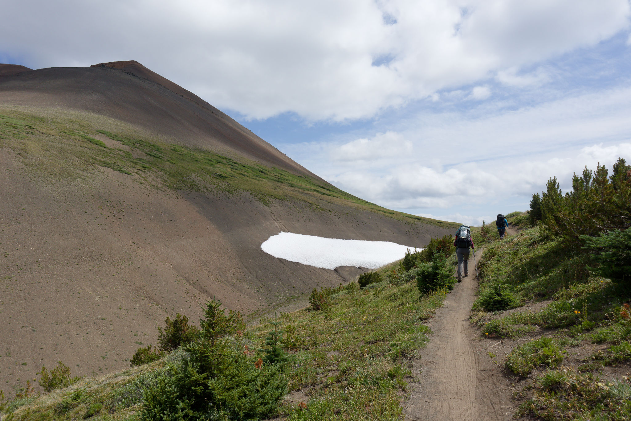
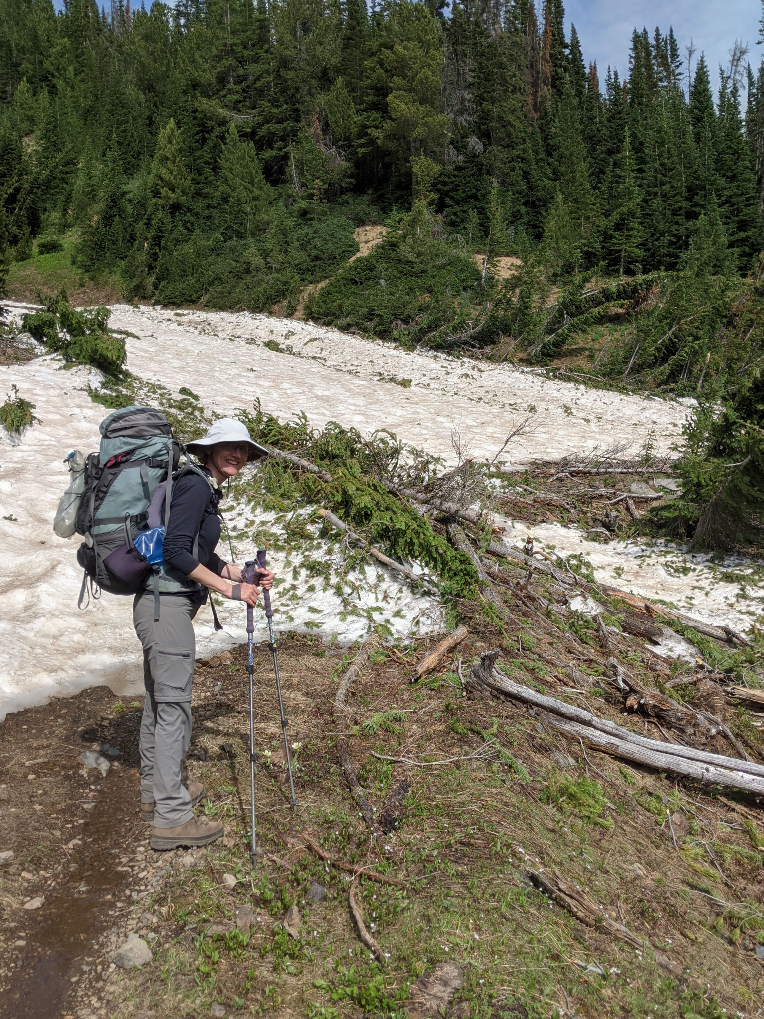
The trail soon turned into a mining track as we passed some old mine workings, with many paintbrush and lupines (among others) lining our passage. It was a gentle climb and very pleasant hiking but my legs were definitely feeling tired after the ascent to Windy Pass. We came to a snow patch where I wondered out loud about the prospect of seeing glacier lilies and then I heard Maria yell back to me – glacier lilies! Spurred on by the flowers, I picked my way through the wreckage of trees destroyed by an avalanche to take a few photos of my favourite cheery yellow lilies. Looking up hill we could see a small two-tier waterfall cascading over a cliff in a canyon-like gully where the snow had come crashing down a few months earlier. The creek had carved an impressive channel under the snow, leaving a tunnel big enough to crawl into.
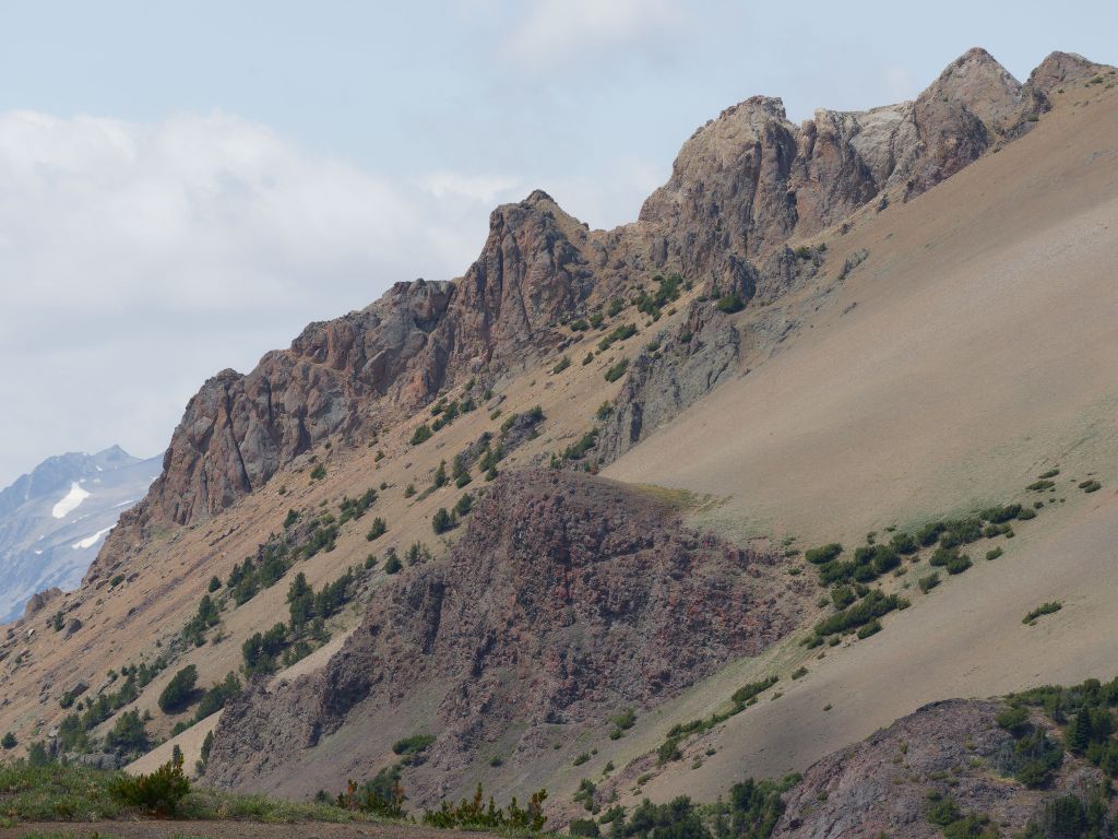
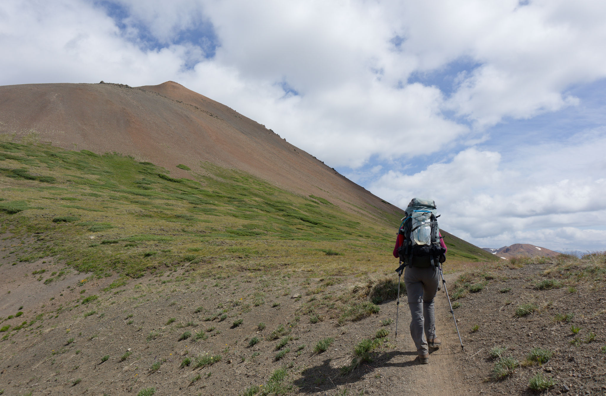
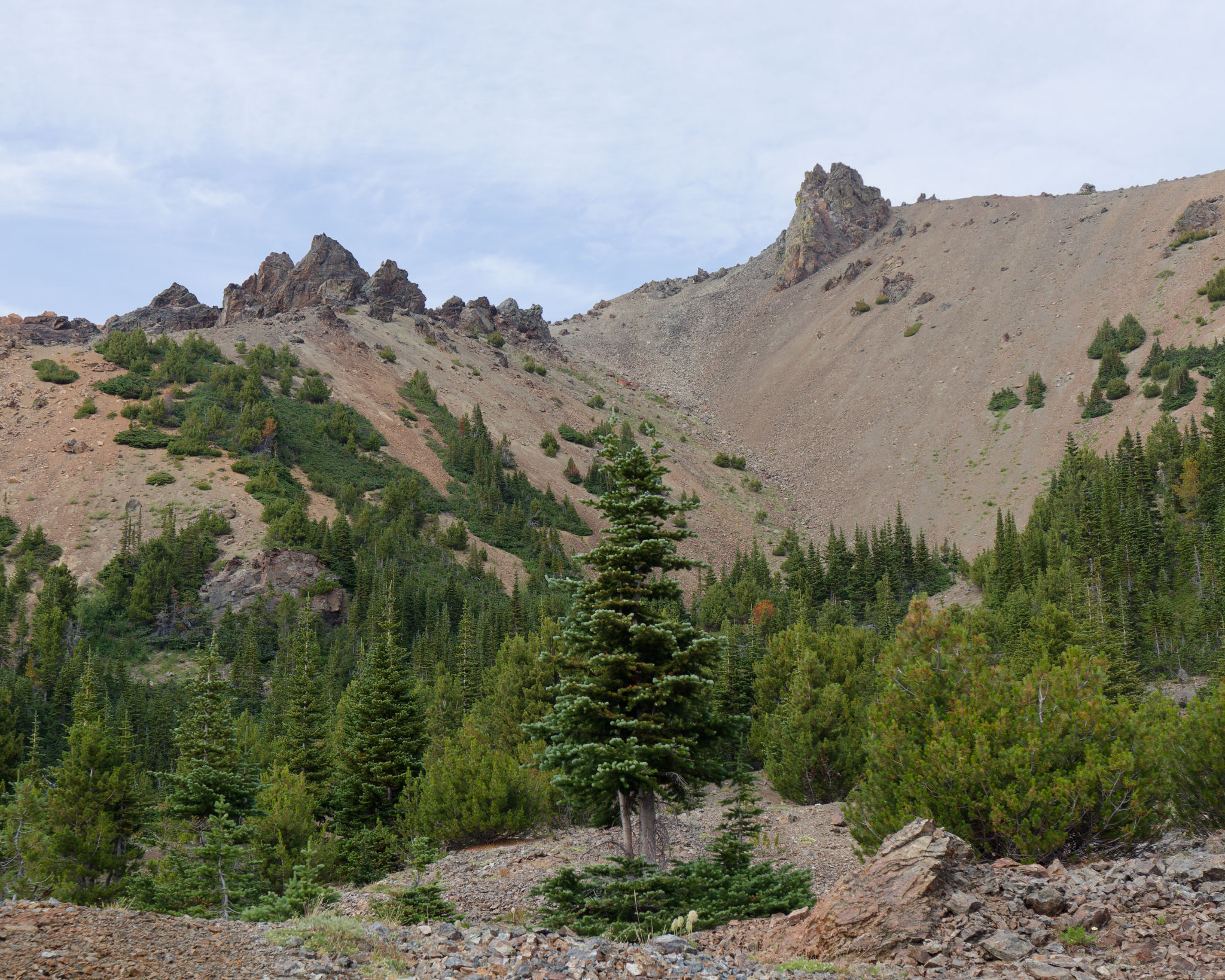
I hurried to catch up with the others – okay let’s put the “hurried” in quotes as it was more likely an accelerated trudge – when another grouse exploded out of the flowers scaring the life out of me and causing me to exclaim in fright. Bloody things! Gradually my heart rate returned to normal as I continued upwards. The trees began to thin out once again, yielding clear views up endless rusty-coloured scree slopes to dramatic jagged rock formations high above us. As we paused in our climb, we turned to look back and take stock of our progress, admiring the view down into the Eldorado valley. We were getting close to the pass and it felt good!


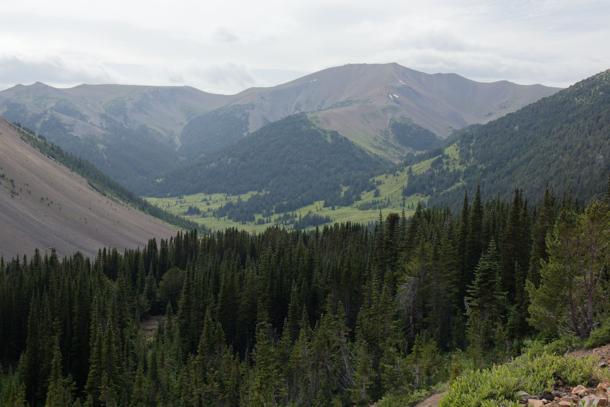

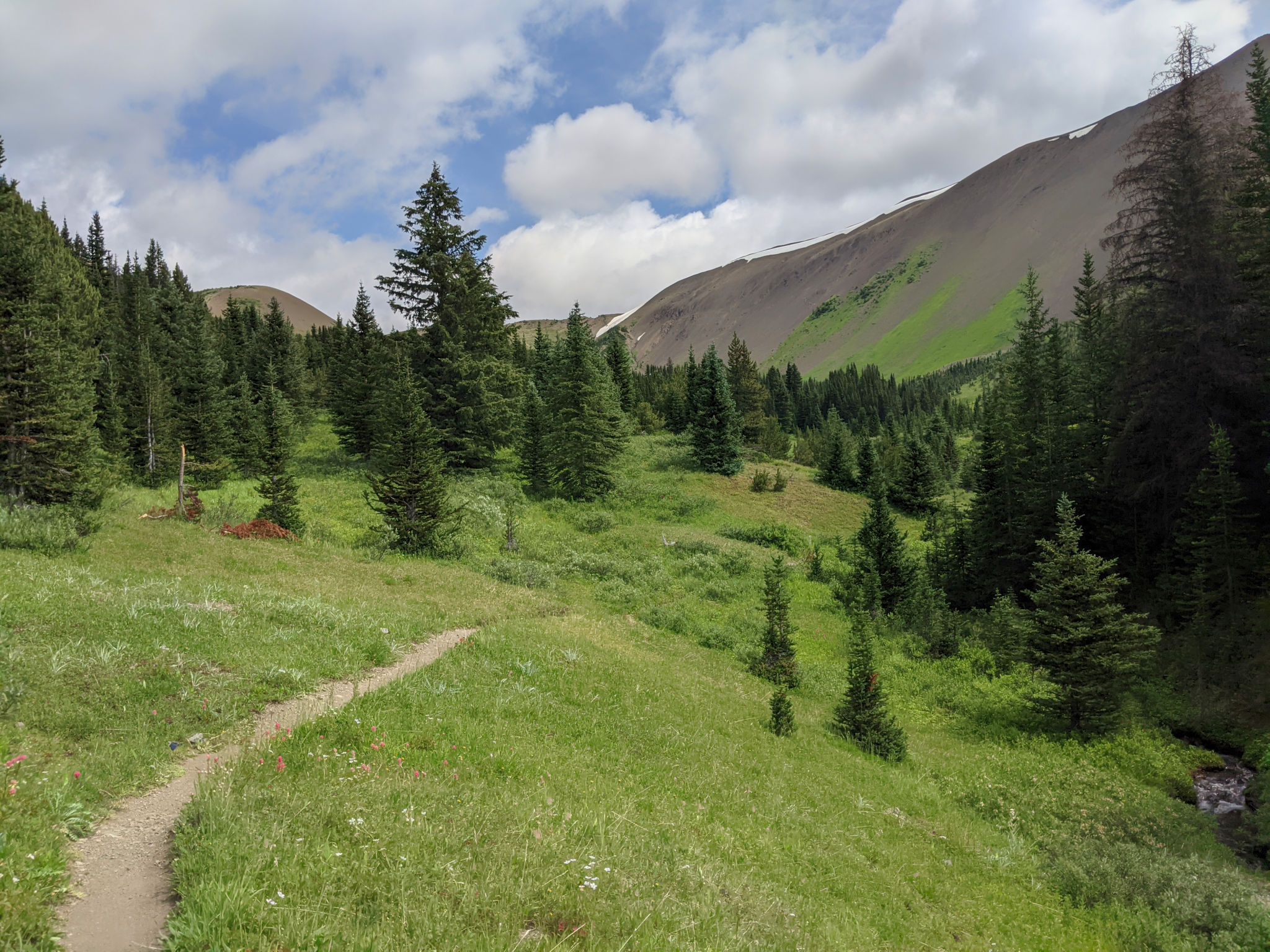
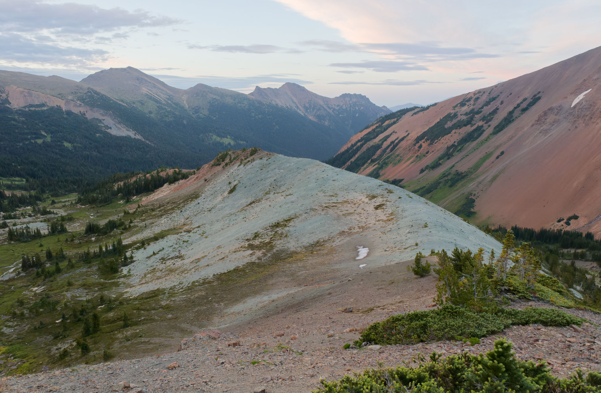
Of course, we weren’t quite there yet and the mining track had a couple of turns up its sleeve to make us wait for that glorious moment. And then our climb was done: we were at Eldorado Pass. We stopped to rest and admire the views in either direction, startling a waddling marmot as we stepped into the Taylor Basin. It almost felt like coming home, having been here three years earlier (almost to the day) and we recognized the familiar shape of Taylor Peak and its associated ridge line that we had previously camped beneath. We didn’t linger, and continued on the Taylor-Pearson trail (which was new to us) to traverse the rocky slopes below the eastern end of Harris Ridge.

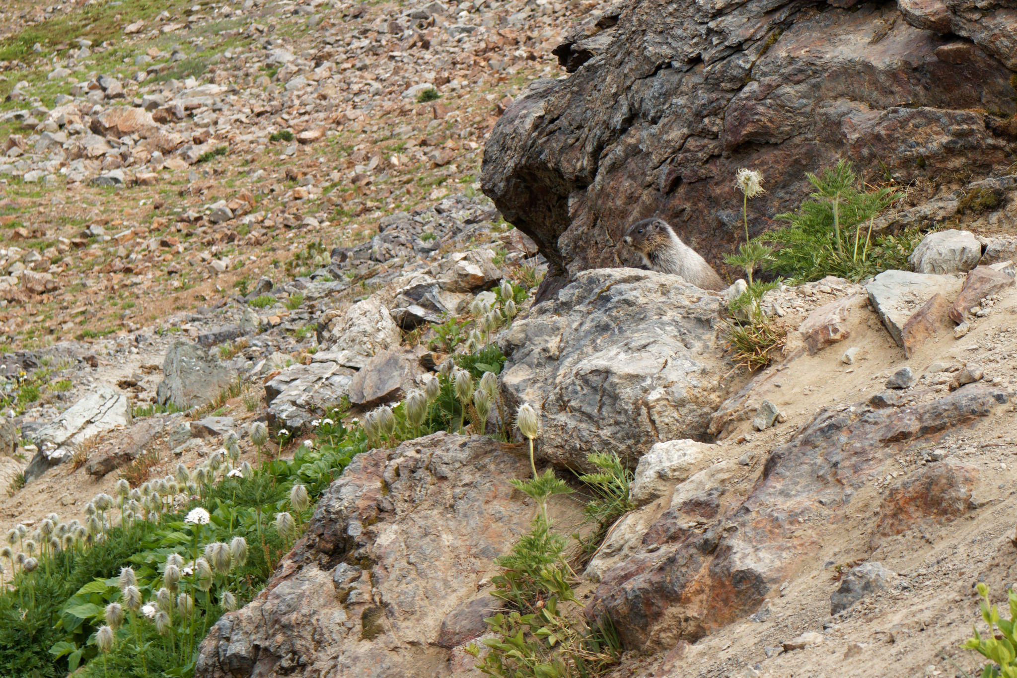
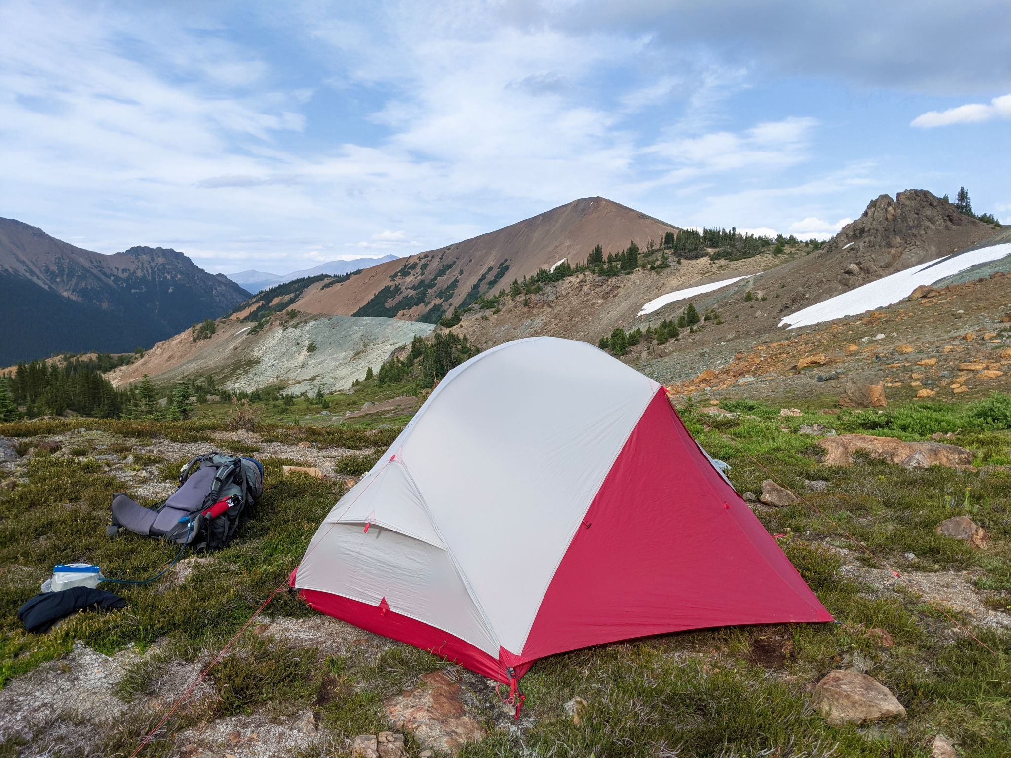
Movement caught our eye and we paused to watch a trio of baby marmots play hide-and-seek with us among the rocks. They’re very cute when they’re so little! We crossed the edges of meadows where a meandering moss-lined stream began its journey to become Taylor Creek, the greens standing out in stark contrast to the array of rock colours – orange, grey, and rocks with hints of green and purple. We weren’t sure exactly where we would camp but we thought that staying close to the headwaters of Taylor Creek would work as there seemed to be some nice level areas. The trick would be to find patches of dirt and rock rather than camping on the heather. Fortunately, the landscape yielded to our requirements and we found a few tent-sized patches of open ground, flat and soft enough to put up our tents.
It’s always satisfying to find a nice place to set up a tent and make home for the night. We unpacked and reconvened a short distance from the tents to make dinner. Our food bags told us the harsh truth that this was our last night on the trail. Oh sure, having a nearly empty food bag makes a difference when carrying it but it’s always a bittersweet realization. We enjoyed our hot food and drinks as the temperature quickly dropped – we were back at high elevation again, sitting at just below 2100 m. But the view and location was worth it.


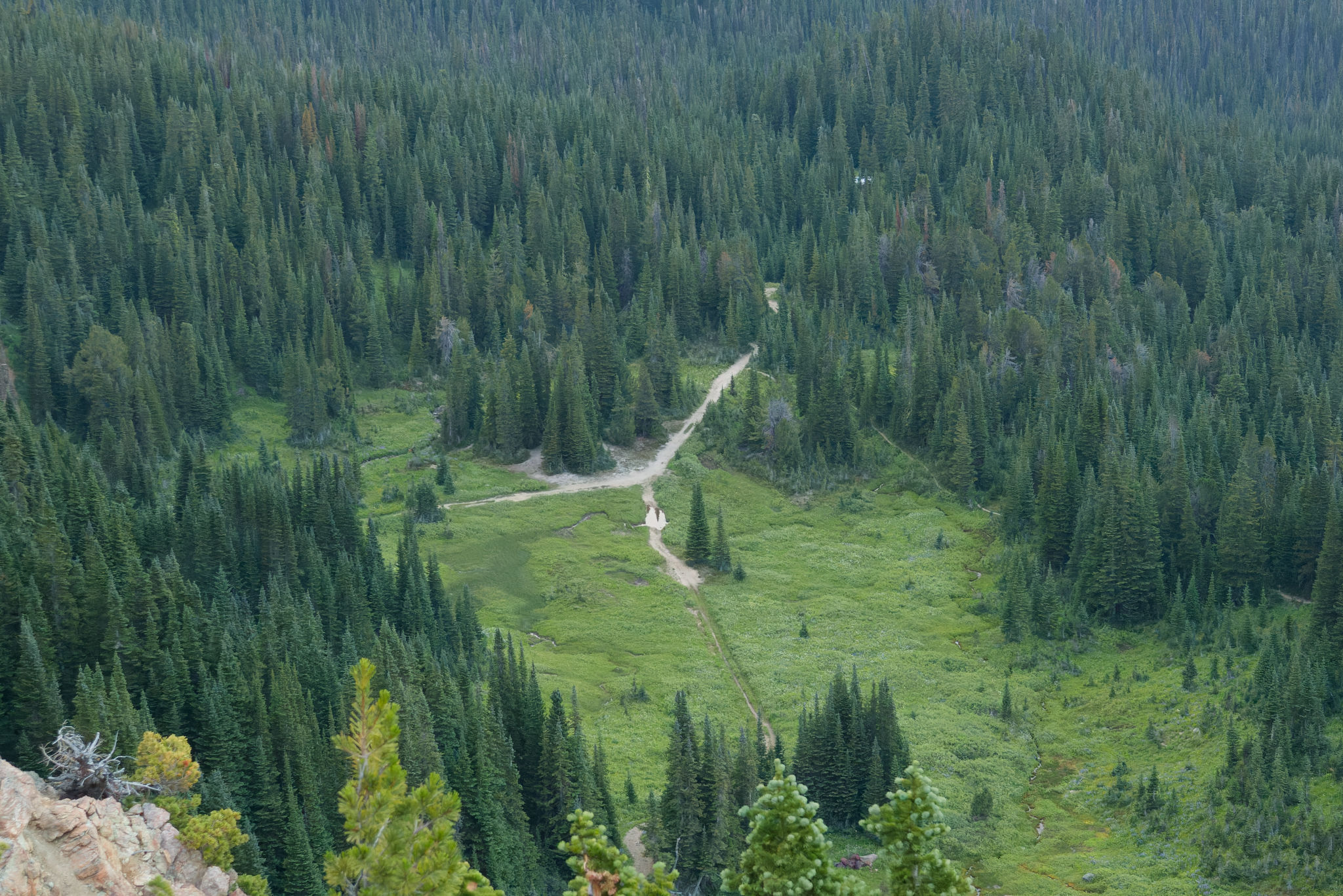
After stowing our bear-proof food bags, we set off to explore a nearby bump in search of views of Taylor Cabin. It wasn’t to be, and so Stephen and Colleen called it a night and headed for their tents. But if there’s exploring to be done, we’re going to do it, so we descended off the bump, tiptoeing through moptop and heather meadows in the direction of a grey ridge to see what we could see. We passed an iron pan where rusty-coloured water spilled out onto the meadow before reaching the soft earthy ridge. Earthy might not be the best description is it had the feeling of turning to sticky clay in the wet. Fortunately it was dry and we stepped lightly past patches of saxifrage and sky pilot to find the end of the ridge. Below us to our right, we could see the trail climbing up from Taylor Cabin and spotted the place we’d pitched our tent for two nights in 2018.


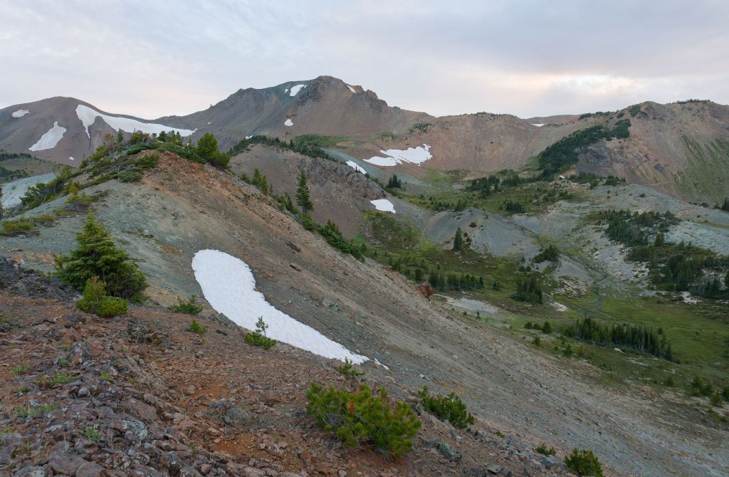

Reaching the end of the ridge took a little bit of bushwhacking through dense low spruce and pine, but the reward was a clear view down into the forested valley, the Y-junction clearly visible and the roof of the cabin reflecting what little light remained in the day. Satisfied, we turned back as the light faded, finding our way back up the ridge and onto the bump again, where we found at least two more nice camping spots – probably better than what we had chosen with more bare earth and some trees for shelter, necessary if the weather was inclement. We peered over to Camel Pass – the first landmark on tomorrow’s hike – before following the trail back to our tent.
It felt good to be wrapped up in our sleeping bags again, and we were glad we’d gone for the after-dinner walk which warmed us up after we’d cooled off over dinner thanks to the wind. We could feel the temperature outside dropping quickly and we settled down to get cosy and to let sleep take us. That was another long, hard day, but thankfully it didn’t feel quite as difficult as some of our previous days, and we knew that tomorrow would be mostly downhill. Mostly…

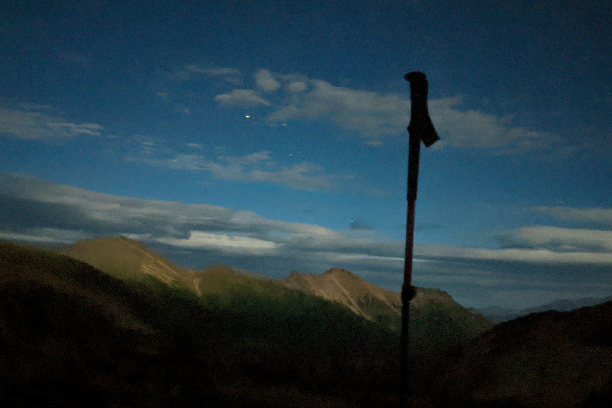
The moon rose during the night, bathing the tent in soft light and prompting me to peer outside where I saw the moonlight glowing on the ridge above Taylor Basin. I should’ve set up the camera to take a proper photo but the lack of desire to get out of my sleeping bag meant that I made do with my phone. It’s a terrible photo, and yet a lovely reminder.


Baby marmots must be SO CUTE!
Oh they are! Alas, we didn’t get close enough to get a really good photo, but it was fun to watch the 3 of them exploring their surroundings.