
Wow, what a way to end the year! Day three of some rare sunny winter weather and we simply could not resist going out again. After yesterday’s late afternoon trip to Hollyburn, we’d decided that we had to finish the year on a similar note. We were a bit late starting but we were on the trail with Andrew by a little after 1 pm.
We headed past the lodge and picked up our backcountry passes as we entered the ski area. We stopped in the sunshine to put on our snowshoes and took a closer look at the hoar frost on a nearby boundary rope. The marker poles led the way and we took the fork to the Bowen Lookout, soon entering a gorgeous snow-filled open meadow. Everything was covered with a layer of hoar crystals – the snow, the trees and the marker poles. And they were the largest we’ve ever seen, some of them a couple of inches long. We noticed that the largest ones grew closest to the ground (though not actually on the ground). One small pine tree was festooned with them. Spectacular!

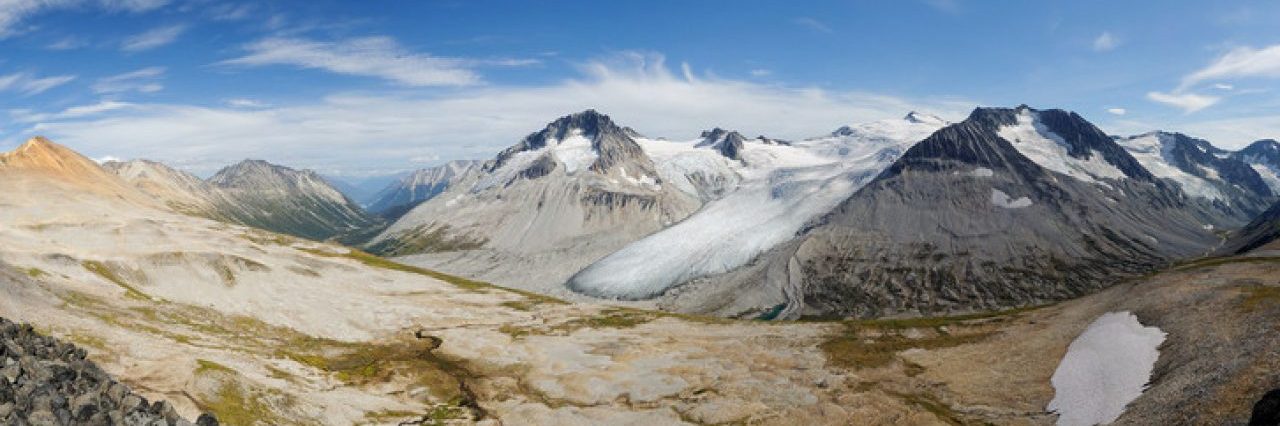
We wandered up through the old-growth hemlock stand and onto the old logging road which wound its way up the hill. Looking behind us as we gained elevation we could see the craggy north face of Black Mountain, our vision dazzled by the sun directly behind it. Not much further and we came to Bowen Lookout, and I think this was the first time we’d ever actually made it to the viewpoint itself. We’d looked for it on at least two trips before and not found it (in summer it’s overgrown with young trees). And we couldn’t have had a better day for it, the view over Howe Sound being the clearest we’ve seen in a long time.
We joined a group having lunch and feeding the whisky jacks. We marvelled at the view and took photos (of course). The peaks of the Tetrahedron range looked stunning. Bowen, Gambier and Anvil Islands were embedded in a deep-blue Howe Sound. Although it was time for a late lunch, we put ourselves on with a mince tart from Cobs and headed back up the hill to join the Howe Sound Crest Trail. The marker poles ran out and the temperature dropped several degrees as we entered the forest, leaving the sunshine behind.

We picked up the trail easily enough and followed it east, going in the opposite direction from all the signs pointing to the ski area (i.e. the way out for skiers taking a different route off Mount Strachan). No hoar frost in the trees. We poked and prodded the snow and were happy that there was no chance of anyone going for a long slide today. We crossed one gulley, then another before reaching my nemesis slope. A couple of years ago we encountered this slope when it was basically a 35-degree sheet of ice and I’d left my hiking poles in the car. I ended up stalled part-way across unable to move without that third point of contact. Fortunately one of the others came back to lend me a pole and I made it over OK.
No such problem today: the snow was soft enough for a trail to have been trodden in and crossing was easy. We still took care and crossed one at a time. On my way over I took the chance to get a good look up and down the slope and could see how far up it went. No wonder the small trees were bent over at a crazy angle: an avalanche here would tear through, flattening everything in its path. Best of all, the view downslope was not as bad as I remembered. In my mind’s eye I envisioned a gulley which disappeared through the trees and ended up down at sea level… But was wasn’t anything like that. A nasty terrain trap for sure, but I could put my worst thoughts about this slope to rest.
A few minutes further and we entered Strachan Meadows, with a very fine view of the Lions. Here was our decision point. Andrew wanted to go on to St Mark’s Summit, Maria to Strachan while I was happy going in either direction. Well I didn’t really want to cast a deciding vote so we tossed a coin. Heads we go to St Mark’s, but it came up (beaver) tails (it was a nickel) and so we turned right and entered the gulley up the north slope of Mount Strachan.


Plenty of skiers had come down and there was no sign of snow instability so we felt that our chances of getting up safely were very good. Setting off we had to break our own trail and quickly realized what hard work lay ahead of us. A cold breeze blew down the gulley, and we were in deep shade. The summit of Strachan was lit by afternoon sunshine, which provided me with all the motivation I needed to get up there!
To say it was hard work would be an understatement really. I was very glad of my ice axe to plunge up to get an anchor so I could kick in steps with my snowshoes. The biggest problem was that the snow was unconsolidated, so that our progress really was a case of two steps forward, one slide back :-) Our progress was impeded by the presence of a weak crust a few inches down, which would give the illusion of supporting you before collapsing a few more inches, messing up your balance and usually causing you to slip backwards a foot or so. After more than an hour of hard work zig-zagging our way up through the snow we finally crested the pass between the north and south summits and were greeted by a gorgeous view of Crown and Grouse Mountains to the east.

But still no sunshine. We looked up at the north summit, decided it was too steep and ploughed our way up onto the south summit where we were bathed in the last light of the day. The views were jaw-dropping: warm, buttery light on the north summit. Beyond lay the Lions, Sky Pilot and more distant yet, Garibaldi. To the east, Crown, Grouse, Cathedral, Judge Howay and the Cheam Range. To the south, Mount Baker, Shuksan and, as yesterday, Mount Rainier – a 300-km distant bump between two of the San Juan Islands. `Wow’ just doesn’t do it justice.
We snapped away and, with cold hands, dug out our by-now very late lunch! I’ve never eaten a flask of soup so quickly in my life. I followed that with a cup of hot chocolate and that sense of feeling normal began to return. I put on my thick gloves (my others were cold and damp from the snow) to warm up my freezing hands.


Within 20 minutes, the sun had set and the temperature began to drop even more. It was -5 C when we set off, and probably -7 C at the summit before the sun set. We picked up our packs and headed off. Our plan was to follow the edge of the ski runs down through the trees and back to the car. We began at the top of the Strachan chair-lift in open meadows, surrounded by trees frozen solid with snow and ice, some coated in spectacular formations. Andrew found a three-foot long icicle which looked like a sword, complete with hilt.

The snow was deep, soft powder and a joy to bound through as we descended. Although it was dark, the ski runs were well-lit and made it easy for us to make our way down. The summer trail runs parallel with the ski run and we encountered it in places; the fact I’d hiked this way a few months earlier helped keep us on track. We hit a couple of steep sections which required a bit of care to negotiate, but other than that our descent was effortless.
We reached the col between Strachan and Hollyburn and turned to follow the terrain south back towards the parking area. At times we were right on the ski-area boundary, sometimes deep in the trees avoiding little creeks and gulleys. We found a set of snowshoe tracks from someone who’d climbed up this way and followed them down. We could see the lights of the parking lot as the tracks led away parallel to the road. We took a chance and headed through the trees towards the lights and would you believe it we came to the road within 20 metres of the car! Now that’s dead reckoning!
We scrambled down the icy embankment and reached the car exactly five hours after setting off. What a fantastic day out in the snow. What a fantastic way to end 2010.
Distance: 10 km
Elevation gain: 530 m
Photos on Flickr
